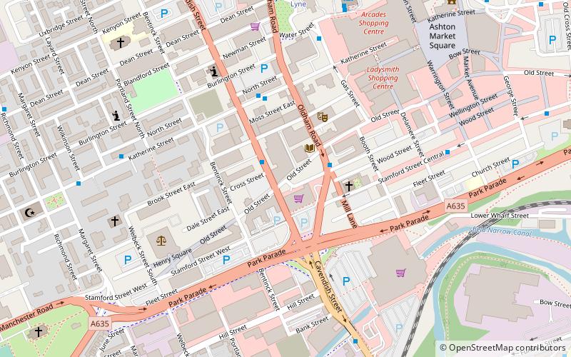
Old Street drill hall, Ashton-under-Lyne
Map

Map

Facts and practical information
The Old Street drill hall is a former military installation in Ashton-under-Lyne, Greater Manchester, England. ()
Built: 1887 (139 years ago)Coordinates: 53°29'12"N, 2°5'54"W
Address
Tameside (St. Peter's)Ashton-under-Lyne
ContactAdd
Social media
Add
Day trips
Old Street drill hall – popular in the area (distance from the attraction)
Nearby attractions include: Ashton Arcades, Ashton Town Hall, St Peter's Church, Stamford Park.
Frequently Asked Questions (FAQ)
Which popular attractions are close to Old Street drill hall?
Nearby attractions include Tameside Hippodrome, Ashton-under-Lyne (3 min walk), Dukinfield Junction, Ashton-under-Lyne (7 min walk), Ashton Canal, Ashton-under-Lyne (8 min walk), Outer Pennine Ring, Ashton-under-Lyne (8 min walk).
How to get to Old Street drill hall by public transport?
The nearest stations to Old Street drill hall:
Bus
Tram
Train
Bus
- Ashton-under-Lyne, Cavendish Street / near Old Street • Lines: 330 (1 min walk)
- Katherine Street/Cavendish Street • Lines: 347 (3 min walk)
Tram
- Ashton-under-Lyne • Lines: Asht, Eccl, Mcuk (7 min walk)
- Ashton West • Lines: Asht, Eccl, Mcuk (14 min walk)
Train
- Ashton-under-Lyne (10 min walk)
- Guide Bridge (27 min walk)


