Dukinfield Junction, Ashton-under-Lyne

Gallery (5)
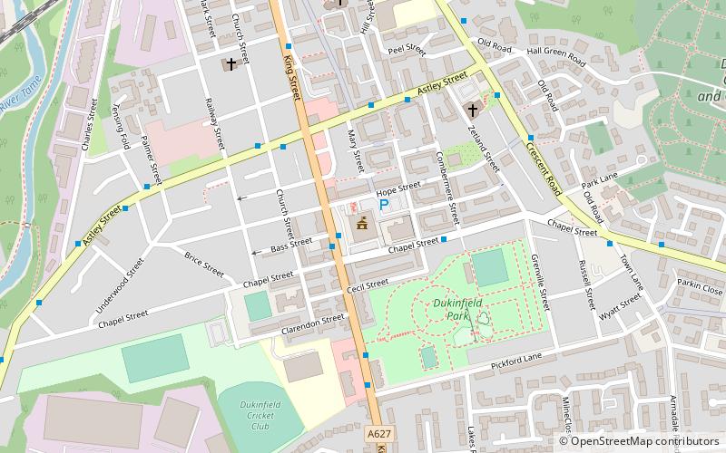
Map


Map

Gallery
Facts and practical information
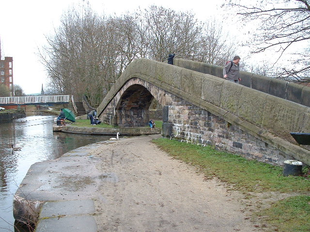
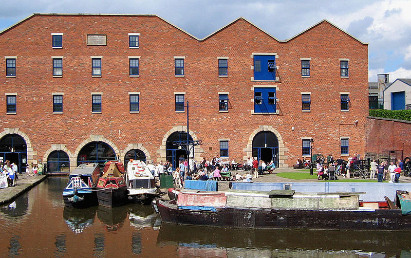
Dukinfield Junction is the name of the canal junction where the Peak Forest Canal, the Ashton Canal and the Huddersfield Narrow Canal meet near Ashton-under-Lyne, Greater Manchester, England. The area has been designated by Tameside Metropolitan Borough Council as a conservation area. ()
Coordinates: 53°28'59"N, 2°5'59"W
Getting there by public transportation
Public transportation stops near this location
- Bus
- Tram
- Train
 Bus
Bus
- Calculate routeAshton-under-Lyne, Cavendish Street / opposite Asda 4 min walk
- Calculate routeStockport Road/Chester Square 6 min walk
- Calculate routeAshton-under-Lyne 14 min walk
- Calculate routeAshton West 17 min walk
- Calculate routeAshton Moss 24 min walk
- Calculate routeAshton-under-Lyne 16 min walk
- Calculate routeGuide Bridge 21 min walk
Day trips


Frequently Asked Questions (FAQ)
When is Dukinfield Junction open?
Dukinfield Junction is open:
- Monday closed
- Tuesday 10 am - 4 pm
- Wednesday 10 am - 4 pm
- Thursday 10 am - 4 pm
- Friday 10 am - 4 pm
- Saturday 10 am - 4 pm
- Sunday 10 am - 4 pm
Which popular attractions are close to Dukinfield Junction?
Nearby attractions include Ashton Canal, Ashton-under-Lyne (1 min walk), Outer Pennine Ring, Ashton-under-Lyne (1 min walk), St Peter's Church, Ashton-under-Lyne (7 min walk), Tameside Hippodrome, Ashton-under-Lyne (9 min walk).
How to get to Dukinfield Junction by public transport?
The nearest stations to Dukinfield Junction:
Bus
Tram
Train
Bus
- Ashton-under-Lyne, Cavendish Street / opposite Asda • Lines: 330 (4 min walk)
- Stockport Road/Chester Square • Lines: 347 (6 min walk)
Tram
- Ashton-under-Lyne • Lines: Asht, Eccl, Mcuk (14 min walk)
- Ashton West • Lines: Asht, Eccl, Mcuk (17 min walk)
Train
- Ashton-under-Lyne (16 min walk)
- Guide Bridge (21 min walk)