Sheffield Inner Ring Road, Sheffield
Map
Facts and practical information
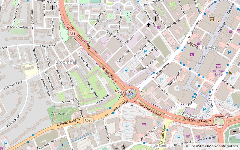
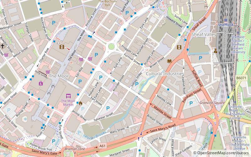
Sheffield Inner Ring Road is a dual-carriageway circling central Sheffield, South Yorkshire, England. Marked up as the A61 all the way around, it was built from the 1960s onwards. The Ring Road connects to the Sheffield Parkway, which itself connects with the M1 motorway. Many of Sheffield's current and under construction major office premises and luxury apartments are located on the Ring Road. ()
Coordinates: 53°22'30"N, 1°28'48"W
Address
Central SheffieldSheffield
ContactAdd
Social media
Add
Getting there by public transportation
Public transportation stops near this location
- Bus
- Tram
- Train
 Bus
Bus
- Calculate routeMoore Street/Fitzwilliam Street 3 min walk
- Calculate routeMoore Street/Hanover Way 3 min walk
- Calculate routeFitzwilliam Gate/Moorfoot MF3 5 min walk
- Calculate routeWest Street 11 min walk
- Calculate routeUniversity of Sheffield 12 min walk
- Calculate routeCity Hall 15 min walk
- Calculate routeNetherthorpe Road 18 min walk
- Calculate routeSheffield 20 min walk
Day trips


Frequently Asked Questions (FAQ)
Which popular attractions are close to Sheffield Inner Ring Road?
Nearby attractions include Velocity Tower, Sheffield (3 min walk), Ecclesall Road, Sheffield (4 min walk), St Silas Church, Sheffield (4 min walk), London Road, Sheffield (6 min walk).
How to get to Sheffield Inner Ring Road by public transport?
The nearest stations to Sheffield Inner Ring Road:
Bus
Tram
Train
Bus
- Moore Street/Fitzwilliam Street • Lines: 271, 272, 65, 81, 82 (3 min walk)
- Moore Street/Hanover Way • Lines: 272, 65, 81, 82, 83, 83a, 88 (3 min walk)
Tram
- West Street • Lines: Blue, Yell (11 min walk)
- University of Sheffield • Lines: Blue, Yell (12 min walk)
Train
- Sheffield (20 min walk)