Caer Caradoc
Map

Gallery

Facts and practical information
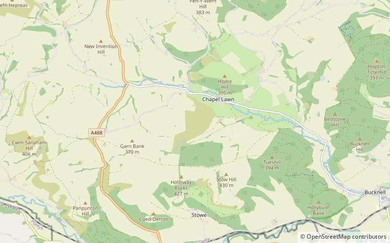
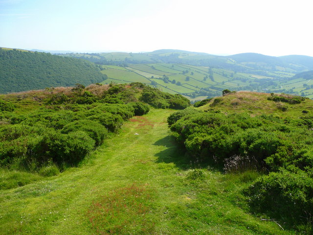
Caer Caradoc is an Iron Age hill fort and Scheduled Monument in the south-west of the English county of Shropshire, near the town of Clun. It overlooks the village of Chapel Lawn. It is located within an area of Open Access land and can be reached via a public footpath between the farms of Wax Hall to the west and Bryncambric to the east. ()
Coordinates: 52°22'33"N, 3°0'53"W
Location
England
ContactAdd
Social media
Add
Day trips
Caer Caradoc – popular in the area (distance from the attraction)
Nearby attractions include: Offa's Dyke, Clun Castle, Clun Bridge, Hopton Castle.


