The Spaceguard Centre, Knighton

Gallery (1)
Map
Map
Facts and practical information
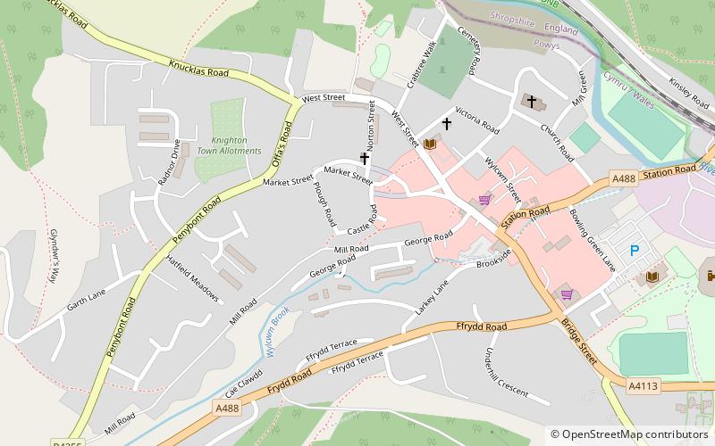
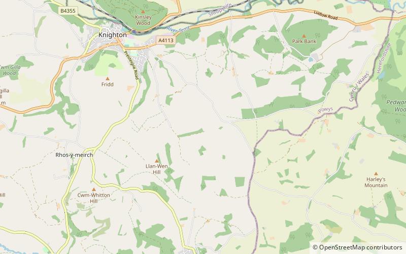
The Spaceguard Centre (address: Llanshay Lane) is a place located in Knighton (Wales principality) and belongs to the category of observatories and planetariums, museum.
It is situated at an altitude of 1348 feet, and its geographical coordinates are 52°19'31"N latitude and 3°1'9"W longitude.
Among other places and attractions worth visiting in the area are: Offa's Dyke (visitor center, 47 min walk), St Andrew's (church, 47 min walk), Knighton Community Centre (history museum, 49 min walk).
Coordinates: 52°19'31"N, 3°1'9"W
Day trips