St Andrew's
Map

Map

Facts and practical information
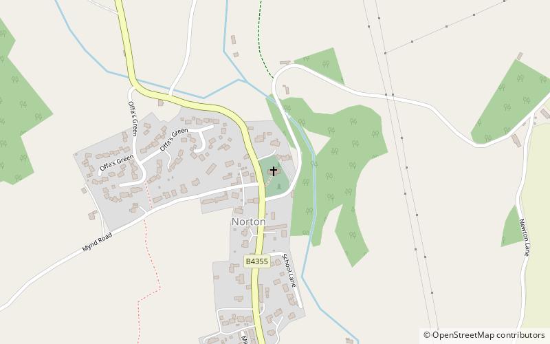
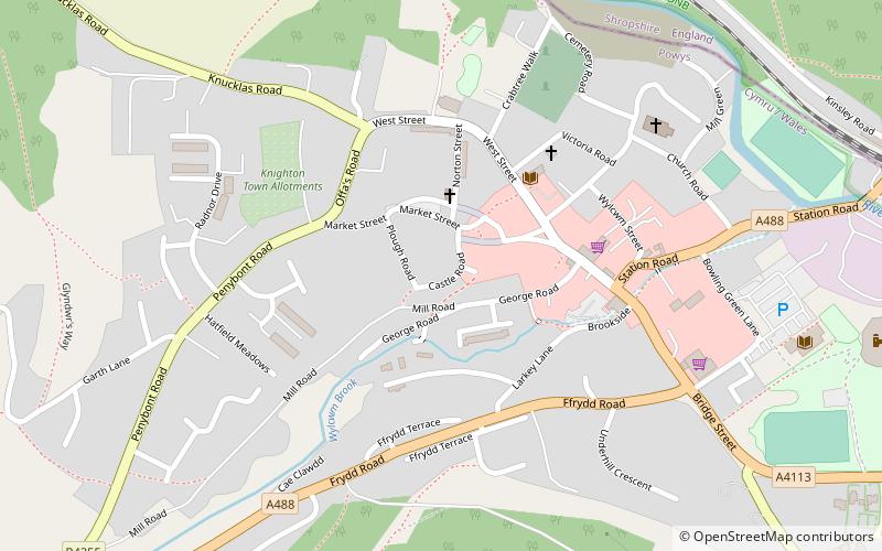
St Andrew's Church is a Church of England parish church in Presteigne, Powys, Wales. It was first constructed in the 9th century by the Anglo-Saxons and retains elements of the original Anglo-Saxon church within a Norman renovation and later Victorian restoration. It is a Grade I listed building. ()
Coordinates: 52°17'56"N, 3°1'16"W
Location
Wales
ContactAdd
Social media
Add
Day trips
St Andrew's – popular in the area (distance from the attraction)
Nearby attractions include: Offa's Dyke, Caer Caradoc, St Stephen's Church, Burfa Castle.


