Nantwich Aqueduct, Nantwich
Map

Gallery

Facts and practical information
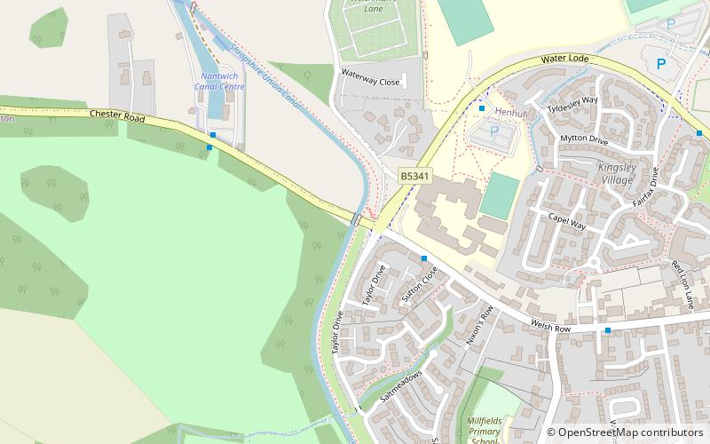
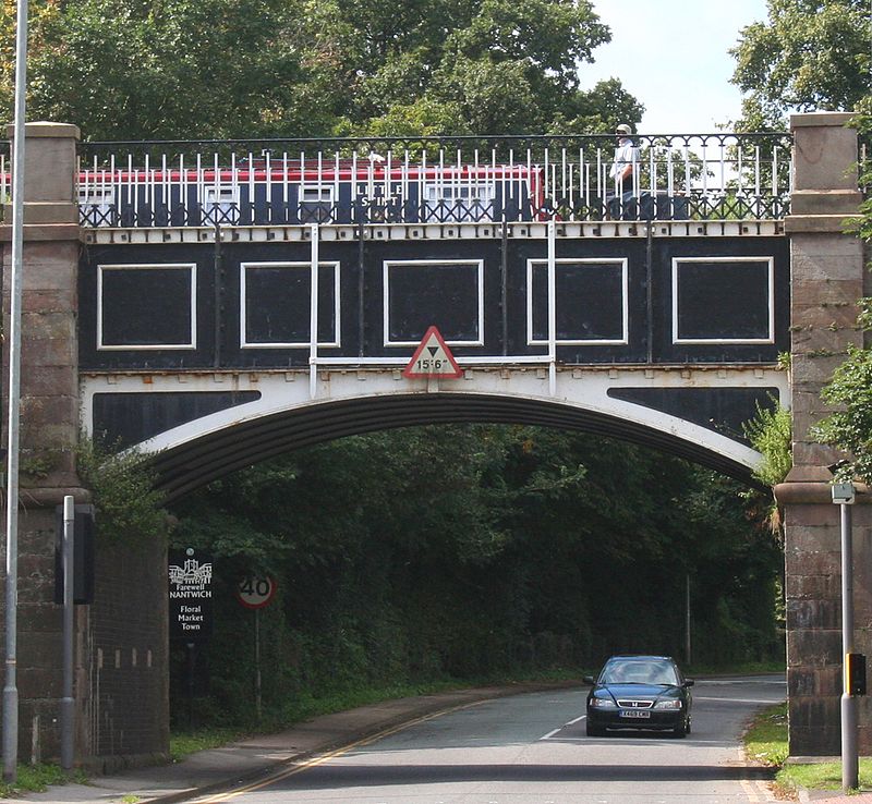
Nantwich Aqueduct is a navigable aqueduct in Acton in Cheshire, England, which carries the Shropshire Union Canal over the Chester to Nantwich road. Designed by Thomas Telford, it dates from around 1826 and is listed at grade II*. ()
Coordinates: 53°4'9"N, 2°32'9"W
Address
Nantwich
ContactAdd
Social media
Add
Day trips
Nantwich Aqueduct – popular in the area (distance from the attraction)
Nearby attractions include: 46 High Street, Nantwich Museum, St Mary's Church, St Mary's Church.
Frequently Asked Questions (FAQ)
Which popular attractions are close to Nantwich Aqueduct?
Nearby attractions include Primitive Methodist Chapel, Nantwich (8 min walk), Nantwich Bridge, Nantwich (13 min walk), Nantwich Castle, Nantwich (14 min walk), 9 Mill Street, Nantwich (15 min walk).
How to get to Nantwich Aqueduct by public transport?
The nearest stations to Nantwich Aqueduct:
Train
Train
- Nantwich (21 min walk)


