Tottenham, London
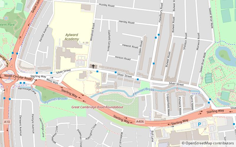
Map
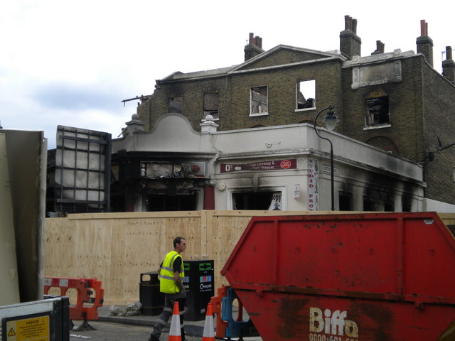
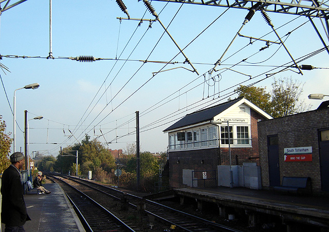
Gallery
Facts and practical information
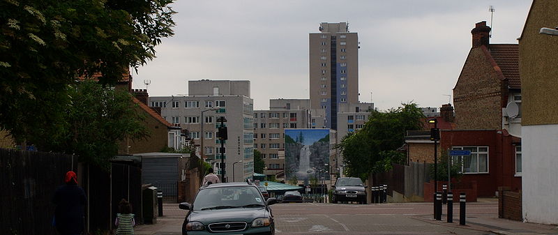
Tottenham is a town in north London, England, within the London Borough of Haringey. It is located in the ceremonial county of Greater London and the historic county of Middlesex. Tottenham is centred 6 miles north-northeast of Charing Cross, bordering Edmonton to the north, Walthamstow, across the River Lea, to the east, and Stamford Hill to the south, with Wood Green and Harringay to the west. ()
Day trips
Tottenham – popular in the area (distance from the attraction)
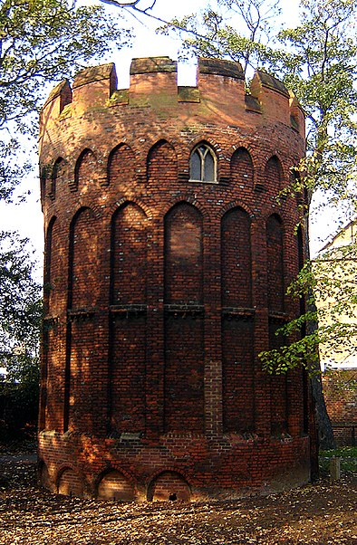
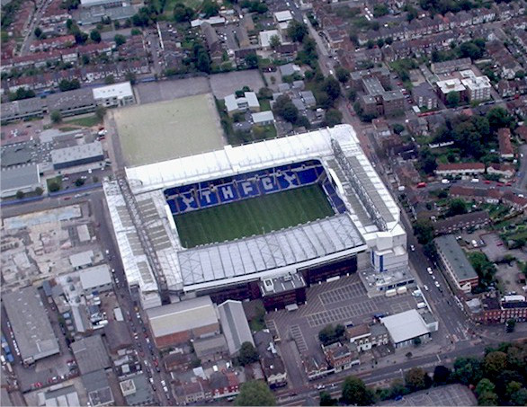
Nearby attractions include: Northumberland Development Project, Bruce Castle, Tottenham Hotspur Stadium, Tottenham Cemetery.
Frequently Asked Questions (FAQ)
Which popular attractions are close to Tottenham?
Nearby attractions include Northumberland Development Project, London (10 min walk), St Mary with St John, London (14 min walk), Lockwood Reservoir, London (21 min walk), Bruce Castle, London (22 min walk).
How to get to Tottenham by public transport?
The nearest stations to Tottenham:
Bus
Train
Metro
Bus
- Northumberland Park Bus Stand • Lines: W3 (5 min walk)
- Leeside Road • Lines: 341 (5 min walk)
Train
- Northumberland Park (8 min walk)
- Meridian Water (13 min walk)
Metro
- Tottenham Hale • Lines: Victoria (30 min walk)




 Tube
Tube


