Ealing, London
Map
Gallery
Facts and practical information
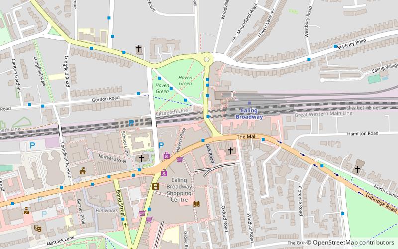
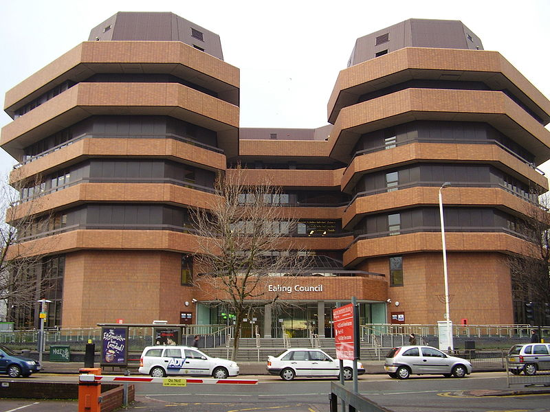
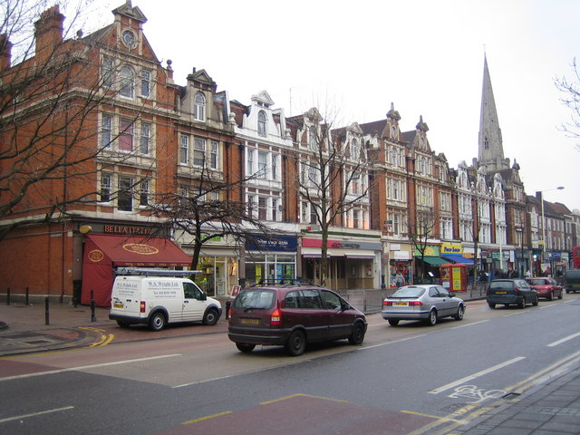
Ealing is a district in West London, England. It is 7.5 miles west of Charing Cross. In the London Borough of Ealing, it is one of the borough's seven major towns. Ealing, resembling the W5, W13 and NW10 post codes is the administrative centre of the borough. It is identified as a major metropolitan centre in the London Plan. ()
Address
Ealing (Hanger Hill)London
ContactAdd
Social media
Add
Day trips
Ealing – popular in the area (distance from the attraction)
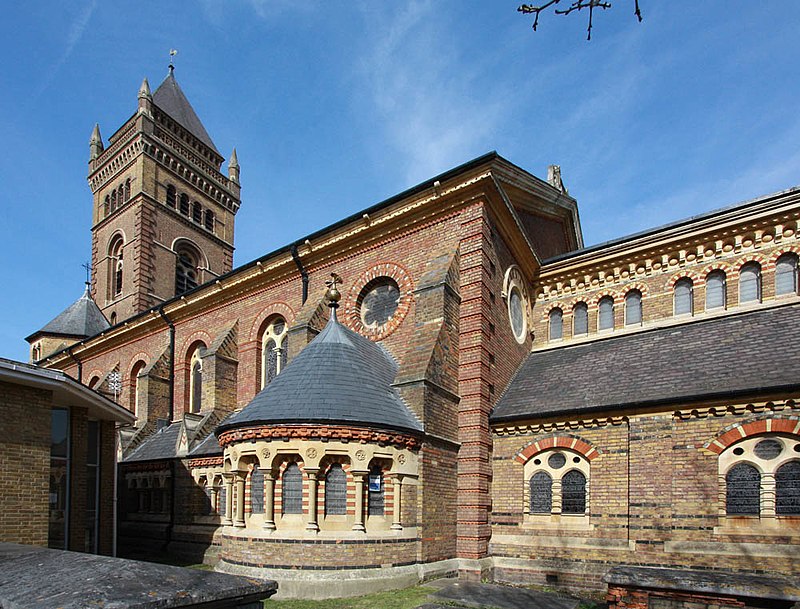
Nearby attractions include: Pitzhanger Manor, Ealing Broadway, Walpole Park, Ealing Abbey.
Frequently Asked Questions (FAQ)
Which popular attractions are close to Ealing?
Nearby attractions include Ealing Abbey, London (12 min walk), Ealing Town Hall, London (13 min walk), Pitzhanger Manor, London (15 min walk), West Ealing, London (18 min walk).
How to get to Ealing by public transport?
The nearest stations to Ealing:
Bus
Metro
Train
Bus
- Westbury Road • Lines: 112 (3 min walk)
- Hanger Lane • Lines: 112 (6 min walk)
Metro
- Ealing Broadway • Lines: Central, District (5 min walk)
- Ealing Common • Lines: District, Piccadilly (18 min walk)
Train
- West Ealing (25 min walk)
- Ealing End (29 min walk)




 Tube
Tube


