South Acton, London
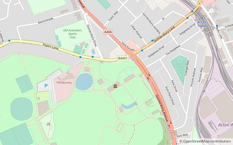
Map
Facts and practical information
South Acton in Acton, West London, is 6.4 miles west of Charing Cross. At the 2001 census, Acton, comprising the wards of East Acton, Acton Central, South Acton and Southfield, had a population of 53,689 people. ()
Coordinates: 51°30'1"N, 0°17'10"W
Address
Hounslow (Brentford)London
ContactAdd
Social media
Add
Day trips
South Acton – popular in the area (distance from the attraction)
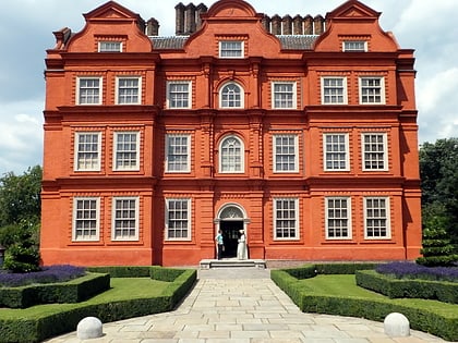
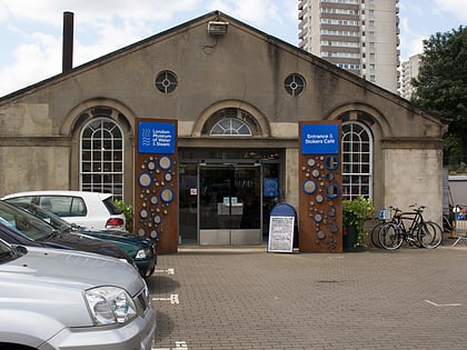
Nearby attractions include: Kew Palace, Griffin Park, Pitzhanger Manor, London Museum of Water & Steam.
Frequently Asked Questions (FAQ)
Which popular attractions are close to South Acton?
Nearby attractions include Gunnersbury Park, London (8 min walk), London Transport Museum Depot, London (10 min walk), Gunnersbury Cemetery, London (11 min walk), Ealing and Old Brentford Cemetery, London (19 min walk).
How to get to South Acton by public transport?
The nearest stations to South Acton:
Bus
Metro
Train
Bus
- Gunnersbury Park • Lines: E3, N11 (3 min walk)
- Acton Town Station • Lines: 70, E3, N11 (9 min walk)
Metro
- Acton Town • Lines: District, Piccadilly (9 min walk)
- Ealing Common • Lines: District, Piccadilly (18 min walk)
Train
- Depot Approach (10 min walk)
- Ealing End (11 min walk)
 Tube
Tube