Church of St Paul, Liverpool
Map

Map

Facts and practical information
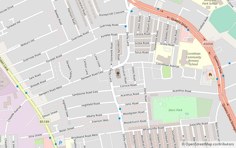
The Church of St Paul is in Derby Lane, Stoneycroft, Liverpool, England. It is recorded in the National Heritage List for England as a designated Grade II* listed building. It was designed by Giles Gilbert Scott, who also designed the Anglican Liverpool Cathedral. ()
Completed: 1916 (110 years ago)Architectural style: Gothic revivalSpire height: 108 ftCoordinates: 53°25'8"N, 2°54'55"W
Day trips
Church of St Paul – popular in the area (distance from the attraction)
Nearby attractions include: Casbah Coffee Club, Liverpool Shopping Park, Newsham Park, Littlewoods Pools building.
Frequently Asked Questions (FAQ)
Which popular attractions are close to Church of St Paul?
Nearby attractions include Doric Park, Liverpool (6 min walk), St Oswald's Church, Liverpool (13 min walk), Stoneycroft, Liverpool (13 min walk), St James' Church, Liverpool (16 min walk).
How to get to Church of St Paul by public transport?
The nearest stations to Church of St Paul:
Bus
Train
Bus
- Muirhead Ave/West Derby Rd • Lines: 18 (20 min walk)
- West Derby Rd/Tuebrook Bridge • Lines: 18 (23 min walk)
Train
- Wavertree Technology Park (26 min walk)
- Broad Green (32 min walk)


