New College Durham, Durham
Map

Map

Facts and practical information
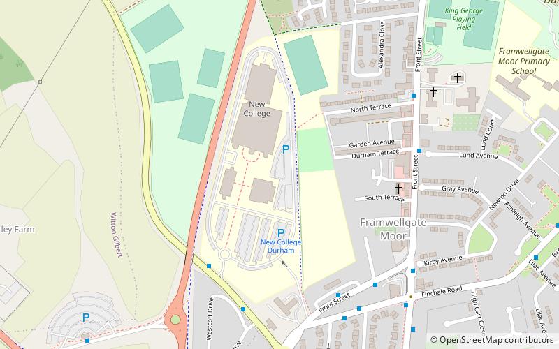
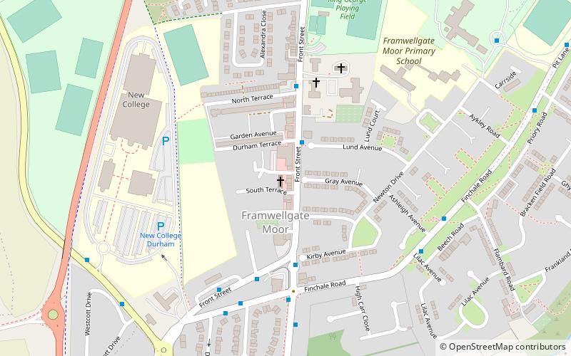
New College Durham is a further and higher education college and a sixth form college in County Durham, England. It was founded in 1977 as a result of a merger between Neville's Cross College of Education and Durham Technical College. ()
Coordinates: 54°47'42"N, 1°35'40"W
Day trips
New College Durham – popular in the area (distance from the attraction)
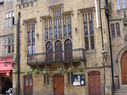
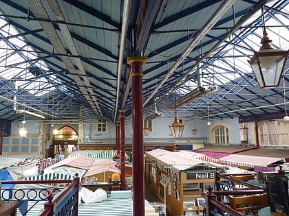
Nearby attractions include: Durham Town Hall, The Gates Shopping Centre, Durham Indoor Market, St Nicholas Church.
Frequently Asked Questions (FAQ)
How to get to New College Durham by public transport?
The nearest stations to New College Durham:
Bus
Train
Bus
- Front Street • Lines: X20, X22 (5 min walk)
- Salutation Bus Gate • Lines: X20 (6 min walk)
Train
- Durham (30 min walk)


