Framwelgate, Durham

Map
Facts and practical information
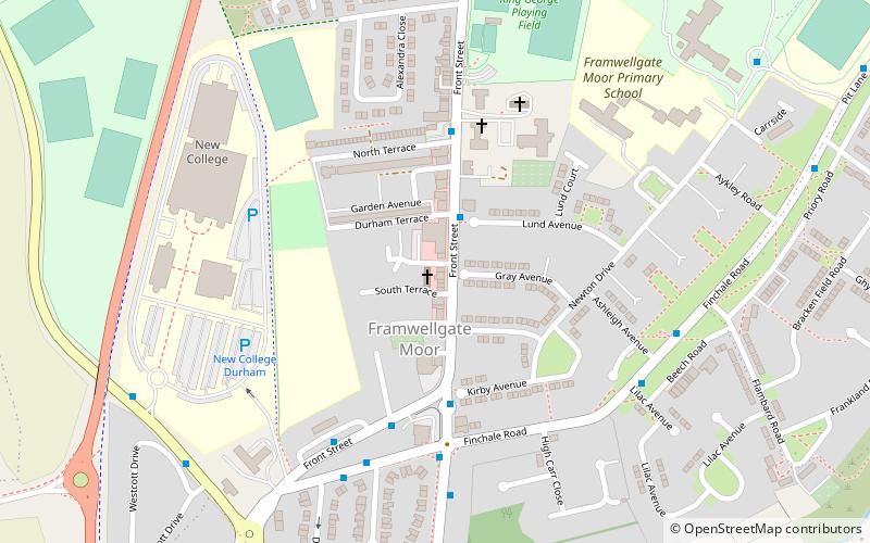
Framwelgate is an area of Durham, County Durham, England. It is adjoined by Crossgate, North End, Framwellgate Moor and the River Wear. ()
Coordinates: 54°47'41"N, 1°35'26"W
Address
Durham
ContactAdd
Social media
Add
Day trips
Framwelgate – popular in the area (distance from the attraction)
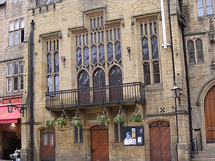
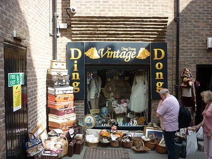
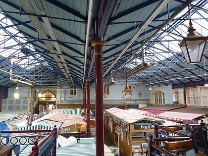
Nearby attractions include: Durham Town Hall, The Gates Shopping Centre, St Giles Church, Durham Indoor Market.
Frequently Asked Questions (FAQ)
How to get to Framwelgate by public transport?
The nearest stations to Framwelgate:
Bus
Train
Bus
- Salutation Bus Gate • Lines: X20 (3 min walk)
- Front Street • Lines: X20, X22 (3 min walk)
Train
- Durham (28 min walk)


