Everton, Liverpool
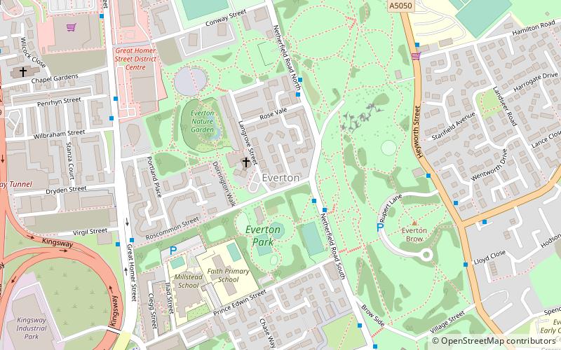
Map
Facts and practical information
Everton is a Liverpool City Council Ward in the Liverpool Walton Parliamentary constituency. The ward boundary was changed in 2004 when the number of councillors was reduced. ()
Coordinates: 53°25'13"N, 2°58'24"W
Address
EvertonLiverpool
ContactAdd
Social media
Add
Getting there by public transportation
Public transportation stops near this location
- Bus
- Train
 Bus
Bus
- Calculate routeBrunswick Road/Shaw Street B 16 min walk
- Calculate routeWest Derby Road/Brougham Terrace 17 min walk
- Calculate routeMoss Street/Prescot Street 18 min walk
- Calculate routeLondon Road/falkland Street Stop H 19 min walk
- Calculate routeLiverpool Lime Street 23 min walk
- Calculate routeSandhills 26 min walk
- Calculate routeMoorfields 27 min walk
- Calculate routeLiverpool Central 30 min walk
Day trips


Frequently Asked Questions (FAQ)
Which popular attractions are close to Everton?
Nearby attractions include Everton Park, Liverpool (4 min walk), Everton Lock-Up, Liverpool (7 min walk), St George's Church, Liverpool (9 min walk), St Anthony's Church, Liverpool (9 min walk).
How to get to Everton by public transport?
The nearest stations to Everton:
Bus
Train
Bus
- Brunswick Road/Shaw Street B • Lines: 18 (16 min walk)
- West Derby Road/Brougham Terrace • Lines: 18 (17 min walk)
Train
- Liverpool Lime Street (23 min walk)
- Sandhills (26 min walk)