Civic Centre, Poole
Map

Map

Facts and practical information
Poole Civic Centre is an Art Deco municipal building in Poole, Dorset. Since 7 October 2019 the building has been a Grade II listed building. Also sometimes known as Poole Town Hall, the civic centre was the headquarters of Poole Borough Council until 2019. ()
Coordinates: 50°43'22"N, 1°57'44"W
Day trips
Civic Centre – popular in the area (distance from the attraction)
Nearby attractions include: Dolphin Shopping Centre, Statue of Robert Baden-Powell, Baiter Park, St James' Church.
Frequently Asked Questions (FAQ)
Which popular attractions are close to Civic Centre?
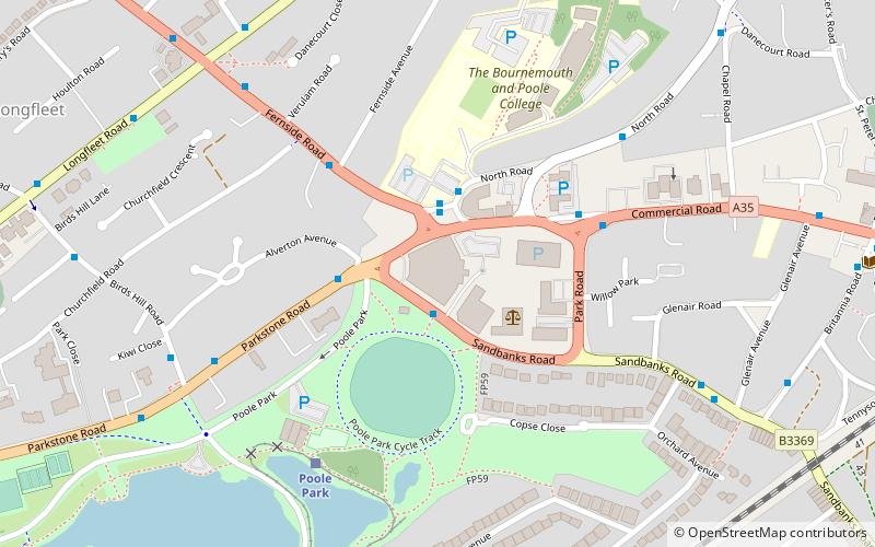
Nearby attractions include Bournemouth and Poole College, Bournemouth (5 min walk), Poole Park, Poole (9 min walk), Longfleet, Poole (10 min walk), St Mary's Church, Poole (15 min walk).
How to get to Civic Centre by public transport?
The nearest stations to Civic Centre:
Bus
Train
Bus
- Park Gates, Park Entrance • Lines: 1, 20, 60, 70, m1, U2 (1 min walk)
- Park Gates, Poole College • Lines: 1, 15, m1, m2 (2 min walk)
Train
- Poole Park (5 min walk)
- Parkstone (17 min walk)


