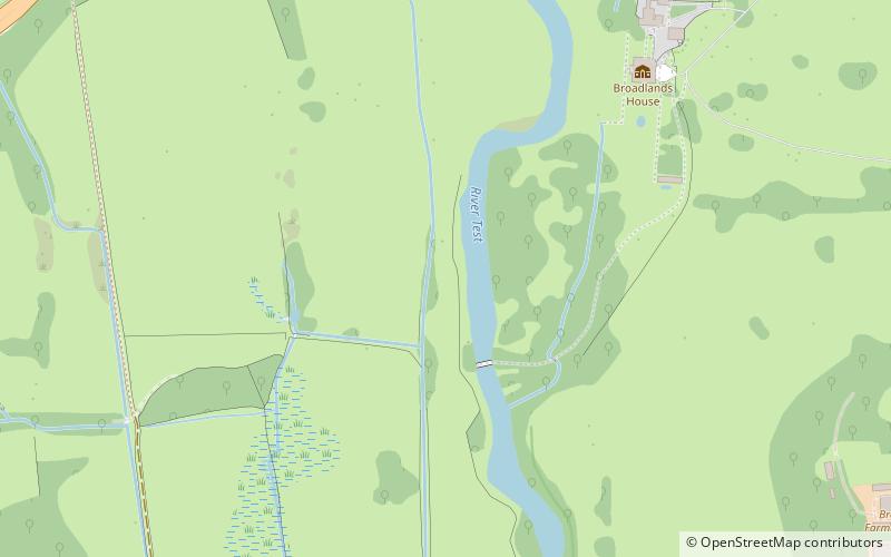
Romsey Extra, Romsey

Map
Facts and practical information
Romsey Extra is a civil parish in the Borough of Test Valley and the English county of Hampshire. At the 2011 census, it had a population of 3,276, although due to the ongoing 800 home Abbotswood development that begun after the census was taken, it is likely to have risen significantly by the next Census and by 50% between 2012 and 2018. This could be increased further by the possibility of a new 1300 home development at Whitenap. ()
Coordinates: 50°58'41"N, 1°30'4"W
Address
Romsey
ContactAdd
Social media
Add
Day trips
Romsey Extra – popular in the area (distance from the attraction)
Nearby attractions include: Romsey Abbey, Romsey Town Hall, Broadlands, Tadburn Meadows.
Frequently Asked Questions (FAQ)
Which popular attractions are close to Romsey Extra?
Nearby attractions include Broadlands, Romsey (11 min walk), Sadler's Mill, Romsey (17 min walk), Romsey Abbey, Romsey (19 min walk), Romsey Town Hall, Romsey (19 min walk).


