Holmhills Community Park Cambuslang, Glasgow
Map

Gallery

Facts and practical information
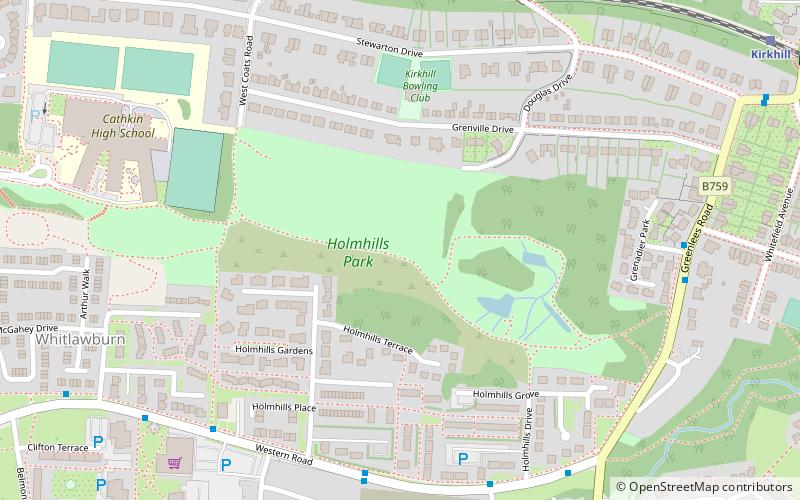
Holmhills Community Park is a recreational area in the southern part of Cambuslang, a town on the south-eastern fringes of the City of Glasgow, Scotland, UK. The area is bordered to the east by Greenlees Road, to the south by Western Road, to the west by Langlea Road, and to the north by Grenville Drive. ()
Elevation: 289 ft a.s.l.Coordinates: 55°48'41"N, 4°10'31"W
Day trips
Holmhills Community Park Cambuslang – popular in the area (distance from the attraction)
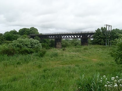
Nearby attractions include: Westburn Viaduct, Whitlawburn, Fernhill, Cambuslang.
Frequently Asked Questions (FAQ)
Which popular attractions are close to Holmhills Community Park Cambuslang?
Nearby attractions include Cambuslang, Glasgow (5 min walk), Whitlawburn, Glasgow (8 min walk).
How to get to Holmhills Community Park Cambuslang by public transport?
The nearest stations to Holmhills Community Park Cambuslang:
Train
Bus
Train
- Kirkhill (10 min walk)
- Cambuslang (15 min walk)
Bus
- Cullins Road • Lines: 14 (16 min walk)
- Cruachan Road • Lines: 14 (16 min walk)


