Fernhill, Glasgow
Map
Gallery

Facts and practical information
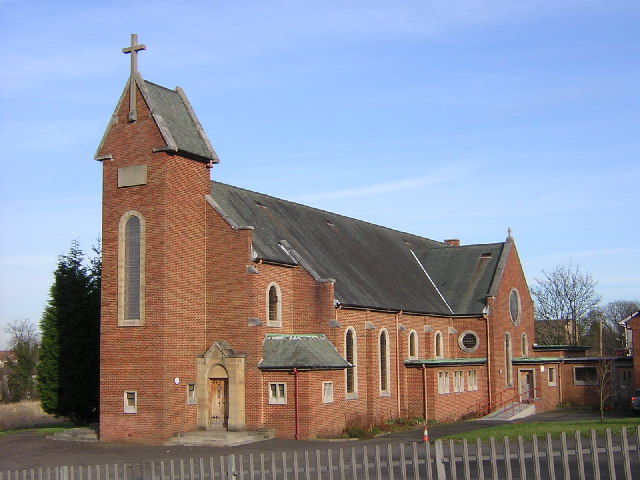
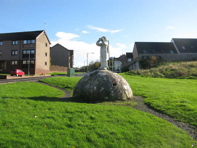
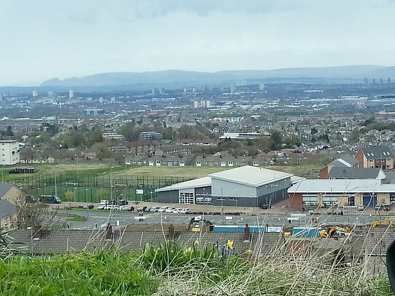
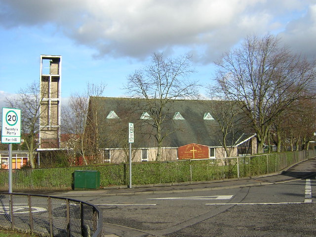
Fernhill is a residential neighbourhood in the Scottish town of Rutherglen in South Lanarkshire; it is situated south of the River Clyde and borders the Rutherglen neighbourhoods of High Burnside to the north and Cathkin to the east, the Glasgow district of Castlemilk to the west, and the open lands of Fernbrae Meadows to the south. Its location on a steep incline which is part of the Cathkin Braes range of hills offers panoramic views over the south and eastern parts of Greater Glasgow. ()
Coordinates: 55°48'32"N, 4°12'23"W
Address
Glasgow
ContactAdd
Social media
Add
Day trips
Fernhill – popular in the area (distance from the attraction)
Nearby attractions include: Holmhills Community Park Cambuslang, Cathkin Braes, Whitlawburn, Croftfoot.
Frequently Asked Questions (FAQ)
How to get to Fernhill by public transport?
The nearest stations to Fernhill:
Bus
Train
Bus
- Morar Drive • Lines: 14 (3 min walk)
- Coveland Drive • Lines: 14 (5 min walk)
Train
- Burnside (15 min walk)
- Croftfoot (28 min walk)


