Westburn Viaduct, Glasgow
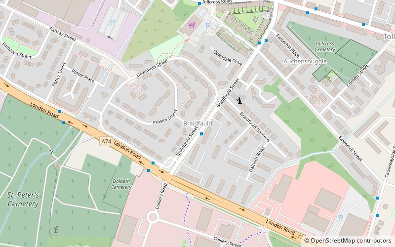
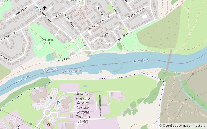
Map
Gallery
Facts and practical information
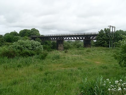
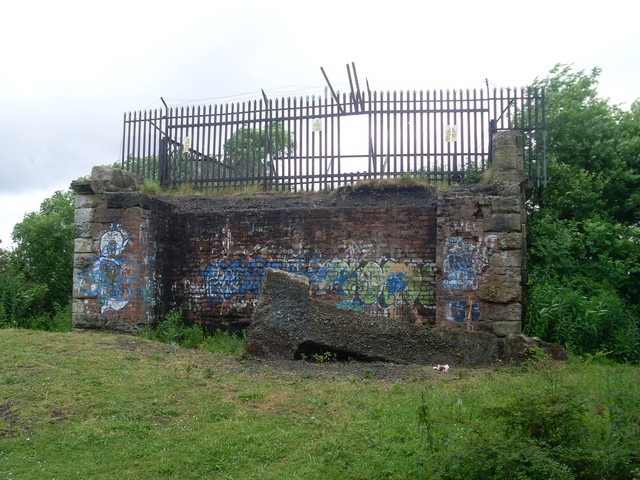
Westburn Viaduct, also known as Carmyle Viaduct, is a disused railway bridge over the River Clyde between Carmyle in Glasgow and Westburn in South Lanarkshire. It is constructed of a steel lattice frame with sandstone pillars and has three main spans over the water. ()
Coordinates: 55°49'41"N, 4°9'12"W
Address
CarmyleGlasgow
ContactAdd
Social media
Add
Day trips
Westburn Viaduct – popular in the area (distance from the attraction)
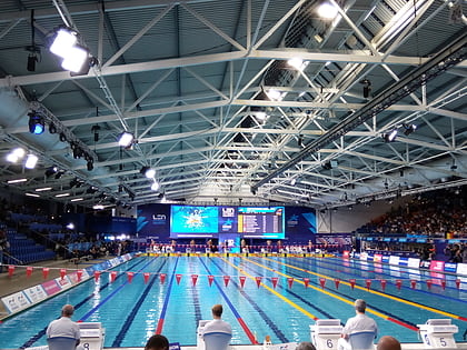
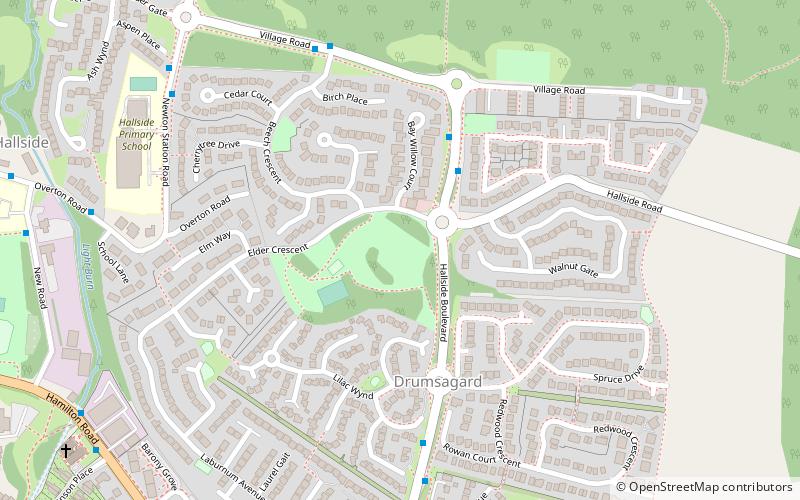
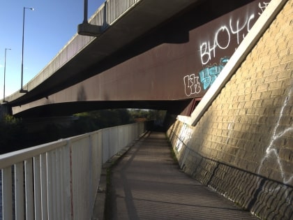
Nearby attractions include: Tollcross International Swimming Centre, Drumsagard Castle, Holmhills Community Park Cambuslang, Auchenshuggle Bridge.
Frequently Asked Questions (FAQ)
How to get to Westburn Viaduct by public transport?
The nearest stations to Westburn Viaduct:
Train
Bus
Train
- Carmyle (12 min walk)
- Cambuslang (25 min walk)
Bus
- Killin Street / Sandyhills Golf Club • Lines: 61 (27 min walk)
- Tollcross, Tollcross Road/ Fullarton Avenue • Lines: 61 (30 min walk)
