New River Path
Map

Map

Facts and practical information
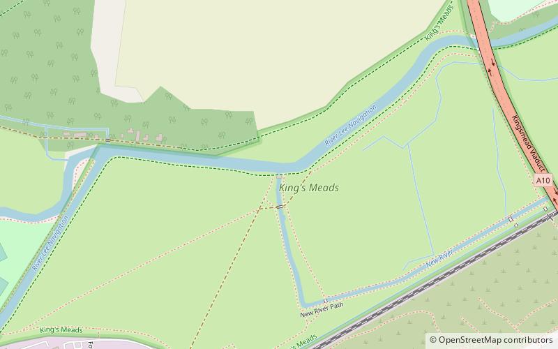
The New River Path is a long-distance footpath which follows the course of the 17th-century aqueduct, the New River, for 28 miles from its source in Hertfordshire to its original end in Islington, London. The path is waymarked and all signs display the words "New River Path" on a green background. ()
Length: 28 miSeason: All yearCoordinates: 51°48'25"N, 0°3'28"W
Location
England
ContactAdd
Social media
Add
Day trips
New River Path – popular in the area (distance from the attraction)
Nearby attractions include: Hertford Museum, All Saints' Church, The White Horse, St Mary's Church.


