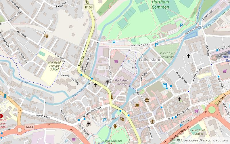
McMullen's Brewery, Hertford
Map
Facts and practical information
McMullen's, known locally as Mac's, is a regional brewery founded in 1827 in Hertford, England. The brewery expanded during the second half of the 19th century by purchasing other breweries and their associated pubs. In 1902 it was the second largest brewery in Hertfordshire. The brewery has occupied several different sites in Hertford and moved to its current location in 1891. There have been several breweries on this site and the current one opened in 2006. As of 2021, members of the 6th generation of the McMullen family are still involved with the business. ()
Coordinates: 51°47'55"N, 0°4'49"W
Getting there by public transportation
Public transportation stops near this location
- Bus
- Train
 Bus
Bus
- Calculate routeBus Station 5 min walk
- Calculate routeHertford Bus Station 5 min walk
- Calculate routeHertford East 9 min walk
- Calculate routeHertford North 13 min walk
Day trips
McMullen's Brewery – popular in the area (distance from the attraction)
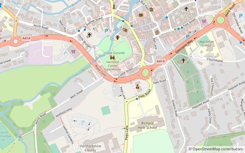
Nearby attractions include: Hertford Museum, All Saints' Church, The White Horse, Hartham Common.


Frequently Asked Questions (FAQ)
Which popular attractions are close to McMullen's Brewery?
Nearby attractions include St Andrew Street, Hertford (4 min walk), Hertford Museum, Hertford (4 min walk), Shire Hall, Hertford (5 min walk), Hartham Common, Hertford (6 min walk).
How to get to McMullen's Brewery by public transport?
The nearest stations to McMullen's Brewery:
Bus
Train
Bus
- Bus Station • Lines: 10, 724 (5 min walk)
- Hertford Bus Station (5 min walk)
Train
- Hertford East (9 min walk)
- Hertford North (13 min walk)