Windmill Hill, Bristol
Map

Map

Facts and practical information
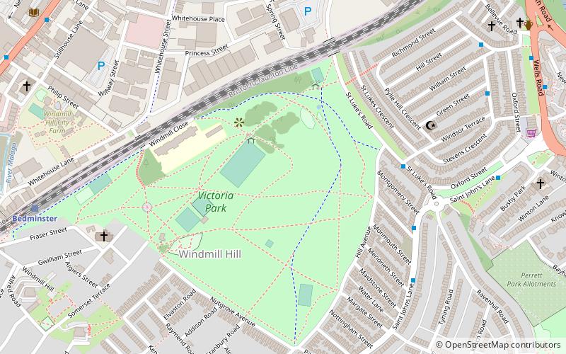
Windmill Hill is situated in the south of the city of Bristol and is often referred to as being part of Bedminster. It is a predominantly residential location, and became popular in the 1990s and 2000s with students, artists and environmentalists, often sharing rented accommodation. The area has mainly Victorian terraced houses though there are also two residential tower blocks Polden and Holroyd House. ()
Coordinates: 51°26'28"N, 2°35'10"W
Address
Windmill HillBristol
ContactAdd
Social media
Add
Day trips
Windmill Hill – popular in the area (distance from the attraction)
Nearby attractions include: M Shed, Arnolfini, Redcliffe Caves, St Mary Redcliffe.
Frequently Asked Questions (FAQ)
Which popular attractions are close to Windmill Hill?
Nearby attractions include Victoria Park, Bristol (2 min walk), Bristol Jamia Mosque, Bristol (6 min walk), Windmill Hill City Farm, Bristol (8 min walk), Totterdown Methodist Church, Bristol (11 min walk).
How to get to Windmill Hill by public transport?
The nearest stations to Windmill Hill:
Train
Bus
Ferry
Train
- Bedminster (9 min walk)
- Bristol Temple Meads (16 min walk)
Bus
- Bellveue Road • Lines: 92 (10 min walk)
- Bellevue Road • Lines: 92 (10 min walk)
Ferry
- Prince Street Bridge • Lines: Hotwells-Centre (18 min walk)
- Millennium Square • Lines: Hotwells-Centre (20 min walk)


