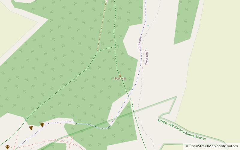
Bow Hill, Sussex Downs AONB
Map

Map

Facts and practical information
Bow Hill is an elongated hill ridge, 206 metres high, and running roughly from north to south in the South Downs, in the county of West Sussex, England. It has a prominence of 74 metres. ()
Elevation: 676 ftProminence: 243 ftCoordinates: 50°53'47"N, 0°49'42"W
Address
Sussex Downs AONB
ContactAdd
Social media
Add
Day trips
Bow Hill – popular in the area (distance from the attraction)
Nearby attractions include: Weald & Downland Living Museum, Goodwood Circuit, West Dean Gardens, Weald and Downland Gridshell.
Frequently Asked Questions (FAQ)
Which popular attractions are close to Bow Hill?
Nearby attractions include Devil's Humps, Sussex Downs AONB (12 min walk), Kingley Vale National Nature Reserve, Sussex Downs AONB (13 min walk), Goosehill Camp, Sussex Downs AONB (20 min walk).


