Ferrybridge Henge

Map
Facts and practical information
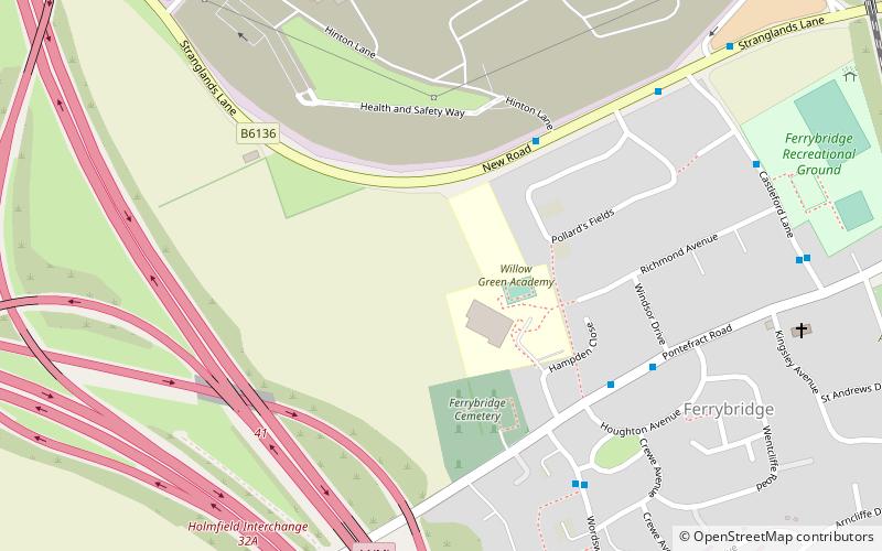
Ferrybridge Henge is a Neolithic henge near Ferrybridge, West Yorkshire. It is close to the A1 and M62 and Ferrybridge power station. Ferrybridge Henge is the furthest south of Yorkshire's henges, and is the only one in West Yorkshire. The site is of national importance and is protected from unauthorised change as a Scheduled Ancient Monument; despite this it is under threat from ploughing. ()
Coordinates: 53°42'44"N, 1°16'51"W
Location
England
ContactAdd
Social media
Add
Day trips
Ferrybridge Henge – popular in the area (distance from the attraction)
Nearby attractions include: Pontefract Castle, St Giles' Church, Pontefract Market Hall, Pontefract Town Hall.


