Port Meadow, Oxford
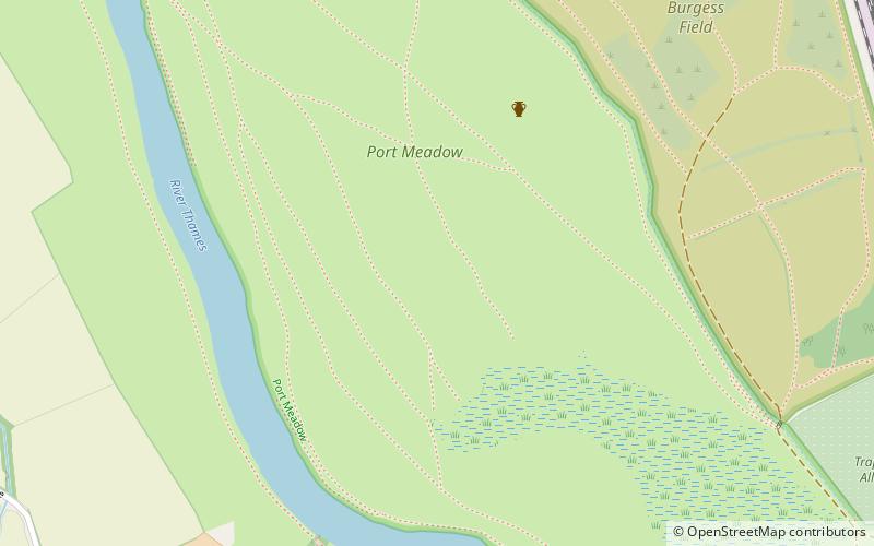
Map
Gallery

Facts and practical information
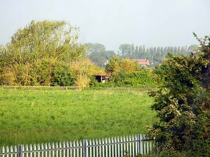
Port Meadow is a large meadow of open common land beside the River Thames to the north and west of Oxford, England. ()
Elevation: 187 ft a.s.l.Coordinates: 51°46'12"N, 1°17'2"W
Day trips
Port Meadow – popular in the area (distance from the attraction)
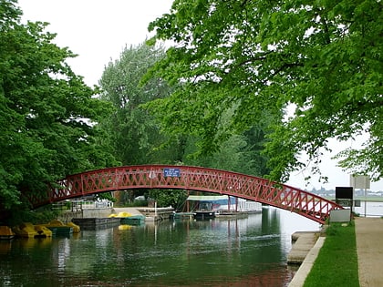
Nearby attractions include: Medley Footbridge, Cripley Meadow, North Wall Arts Centre, Walton Well Road.
Frequently Asked Questions (FAQ)
Which popular attractions are close to Port Meadow?
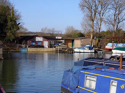
Nearby attractions include Medley Footbridge, Oxford (12 min walk), Bossoms Boatyard, Oxford (13 min walk), Hook Meadow and The Trap Grounds, Oxford (14 min walk), Aristotle Lane, Oxford (16 min walk).
How to get to Port Meadow by public transport?
The nearest stations to Port Meadow:
Bus
Train
Bus
- St Margarets Road • Lines: 35, 853 (21 min walk)
- Ferry Pool Road • Lines: 14A (25 min walk)
Train
- Oxford (33 min walk)

