Cripley Meadow, Oxford
Map
Gallery
Facts and practical information
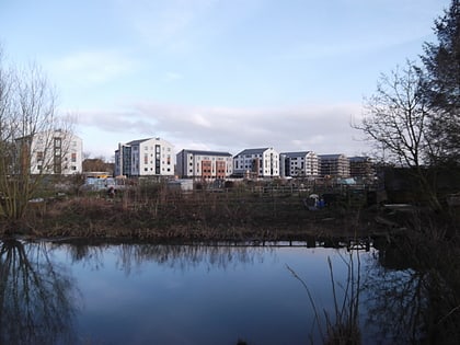
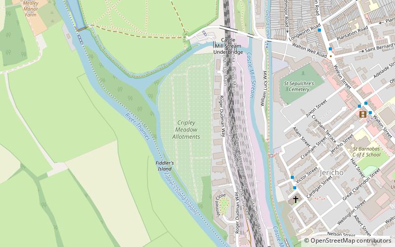
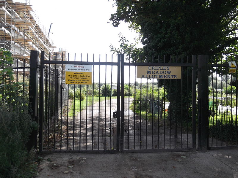
Cripley Meadow lies between the Castle Mill Stream, a backwater of the River Thames, and the Cotswold Line railway to the east, and Fiddler's Island, on the main branch of the Thames to the west, in Oxford, England. It is to the south of the better known Port Meadow, a large meadow of common land. To the south is Sheepwash Channel which connects the Oxford Canal with the River Thames. ()
Elevation: 187 ft a.s.l.Coordinates: 51°45'36"N, 1°16'26"W
Day trips
Cripley Meadow – popular in the area (distance from the attraction)
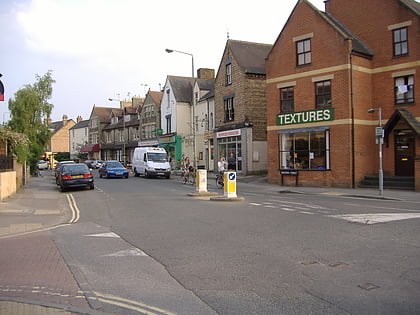
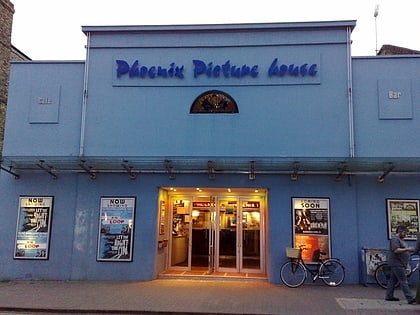
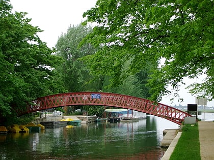
Nearby attractions include: Walton Street, St Barnabas Church, Phoenix Picturehouse, Medley Footbridge.
Frequently Asked Questions (FAQ)
Which popular attractions are close to Cripley Meadow?
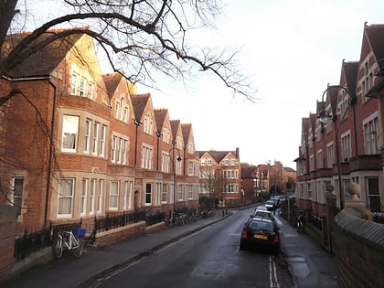
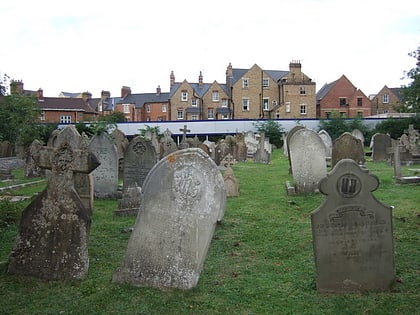
Nearby attractions include St Sepulchre's Cemetery, Oxford (6 min walk), Walton Well Road, Oxford (6 min walk), St Barnabas Church, Oxford (6 min walk), Juxon Street, Oxford (6 min walk).
How to get to Cripley Meadow by public transport?
The nearest stations to Cripley Meadow:
Train
Bus
Train
- Oxford (13 min walk)
Bus
- Plantation Road • Lines: 35, 853 (13 min walk)
- Osney Island • Lines: 4, 4A, 4B, 4C, S1, U1 (14 min walk)
