Bristol City Stadium, Bristol
Map

Map

Facts and practical information
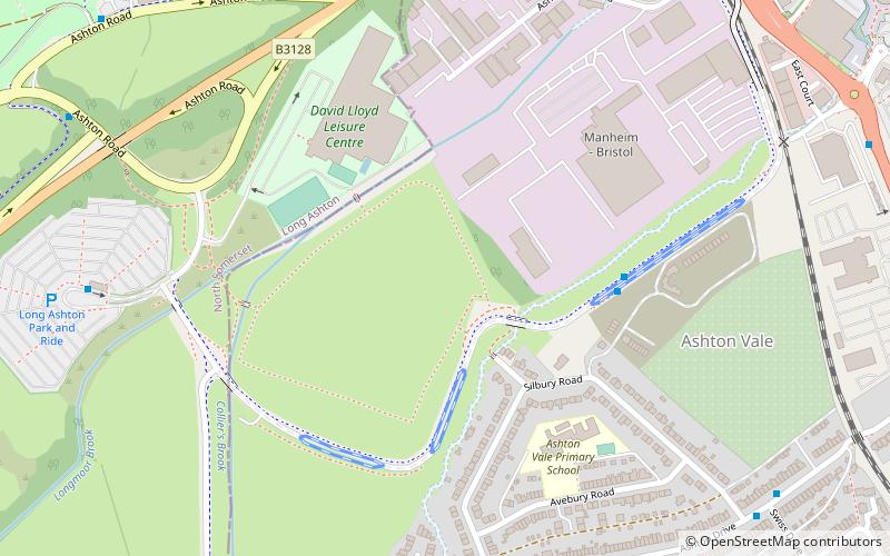
The Bristol City Stadium was a proposed football stadium, announced in November 2007, which would be built on land at Ashton Vale, Bristol, England, and would replace Ashton Gate Stadium as the home stadium of Bristol City F.C. Due to legal issues, the club cancelled the project, instead deciding to renovate Ashton Gate. ()
Coordinates: 51°26'9"N, 2°37'45"W
Address
BedminsterBristol
ContactAdd
Social media
Add
Day trips
Bristol City Stadium – popular in the area (distance from the attraction)
Nearby attractions include: SS Great Britain, Ashton Gate Stadium, Hydraulic engine house, Jacobs Wells Baths.
Frequently Asked Questions (FAQ)
Which popular attractions are close to Bristol City Stadium?
Nearby attractions include Bower Ashton, Bristol (11 min walk), Ashton Gate Stadium, Bristol (13 min walk), Church of All Saints, Bristol (16 min walk), Ashton Court Estate, Bristol (18 min walk).
How to get to Bristol City Stadium by public transport?
The nearest stations to Bristol City Stadium:
Bus
Train
Ferry
Bus
- Ashton Vale • Lines: m2 (4 min walk)
- Long Ashton Park and Ride • Lines: m2 (8 min walk)
Train
- Butterfly Junction (22 min walk)
- Parson Street (24 min walk)
Ferry
- Nova Scotia Place • Lines: Hotwells-Centre (24 min walk)
- The Cottage • Lines: Hotwells-Centre (25 min walk)


