Roundton Hill

Gallery (1)
Map
Map
Facts and practical information
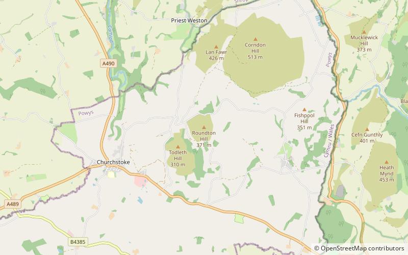
Roundton Hill is a rounded, steep sided, 1,210 feet hill, volcanic in origin, in the easternmost part of old Montgomeryshire, Wales, which juts into the English border near Church Stoke. It is managed as a nature reserve by the Montgomeryshire Wildlife Trust, who acquired it in 1985. ()
Elevation: 1125 ft a.s.l.Coordinates: 52°32'52"N, 3°2'33"W
Day trips


