Snailbeach Mine
Map

Map

Facts and practical information
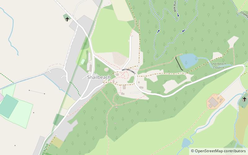
Snailbeach Countryside Site is an industrial archeology site in Shropshire. It is located three 3 miles south of the village of Pontesbury and around 12 miles from the county town of Shrewsbury. At peak of production during the 19th century, it was reputed to be extracting the largest volume of lead per acre in Europe. ()
Coordinates: 52°36'50"N, 2°55'30"W
Location
England
ContactAdd
Social media
Add
Day trips
Snailbeach Mine – popular in the area (distance from the attraction)
Nearby attractions include: Long Mynd, St Laurence's Church, Rectory Wood, Corndon Hill.


