Wild Edric's Way
#3462 among destinations in the United Kingdom

Facts and practical information
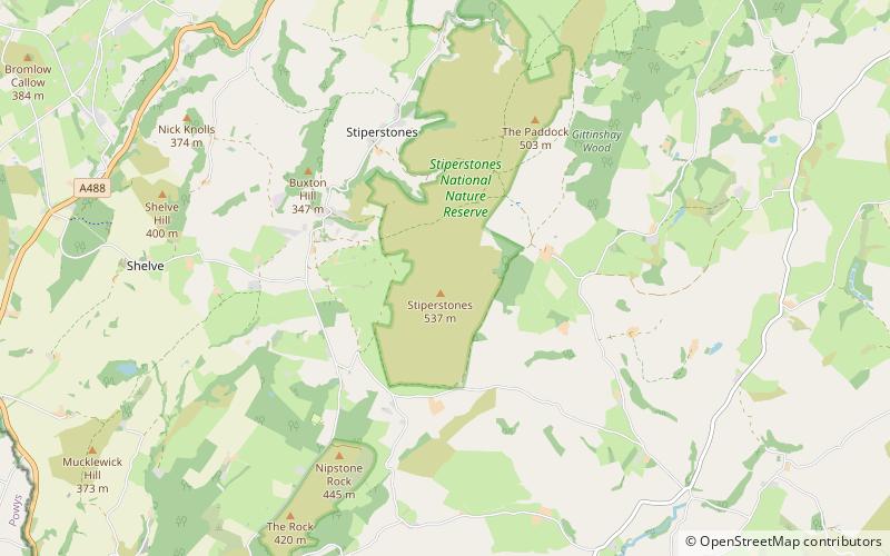
Wild Edric's Way is a waymarked long distance footpath running wholly within the county of Shropshire in England. The path runs for 49 miles, mostly sharing the route of the Shropshire Way. ()
EnglandUnited Kingdom
Wild Edric's Way plan & book
Unleash the traveler in you — discover the cheapest flight deals, find the perfect hotel or hostel nearby, and search for the best car rental prices. Travel at your own pace to discover new places and enjoy your journey.
Wild Edric's Way – popular in the area (distance from the attraction)
Nearby attractions include: Long Mynd, Snailbeach Mine, St Laurence's Church, Rectory Wood.
 Nature, Natural attraction, Hill
Long Mynd
102 min walk • The Long Mynd is a heath and moorland plateau that forms part of the Shropshire Hills in Shropshire, England. The high ground, which is common land and designated as an Area of Outstanding Natural Beauty, lies between the Stiperstones range to the west and the Stretton Hills and Wenlock Edge to the east.
 Museum, Mine
Snailbeach Mine
55 min walk • Snailbeach Countryside Site is an industrial archeology site in Shropshire. It is located three 3 miles south of the village of Pontesbury and around 12 miles from the county town of Shrewsbury. At peak of production during the 19th century, it was reputed to be extracting the largest volume of lead per acre in Europe.
 Church, Gothic architecture
St Laurence's Church, Church Stretton
156 min walk • St Laurence's Church is in Church Street, Church Stretton, Shropshire, England. It is an active Anglican parish church in the deanery of Condover, the archdeaconry of Ludlow, and the diocese of Hereford.
 Park
ParkRectory Wood, Church Stretton
151 min walk • Rectory Wood is a wooded area near Church Stretton in Shropshire.
 Nature, Natural attraction, Mountain
Corndon Hill
103 min walk • Corndon Hill is a hill in Powys, Mid Wales, whose isolated summit rises to 1,683 ft above sea level. It is surrounded on three sides by the English county of Shropshire and forms a prominent landmark in the Wales-England border.
 Park
ParkPoles Coppice countryside site
99 min walk • Poles Coppice countryside site is an area of ancient oak woodland with disused quarry workings, located around 0.5 miles south of Pontesbury, Shropshire. It is managed by Shropshire Council as a picnic spot and area for walking and recreation activities.
 Park
ParkRoundton Hill
132 min walk • Roundton Hill is a rounded, steep sided, 1,210 feet hill, volcanic in origin, in the easternmost part of old Montgomeryshire, Wales, which juts into the English border near Church Stoke. It is managed as a nature reserve by the Montgomeryshire Wildlife Trust, who acquired it in 1985.
 Nature, Natural attraction, Hill
Heath Mynd
91 min walk • Heath Mynd is a hill in the English county of Shropshire. At a height of 452 metres it is fairly unnotable except for its Marilyn status, a feature caused by the sharp drop on all sides.
 Archaeological site
Stapeley Hill
87 min walk • Stapeley Hill is a sacred saddleback shaped hill in South-West Shropshire, near the village of Priestweston, not far from another landmark, Corndon Hill.
 Memorial
Mitchell's Fold
99 min walk • Mitchell's Fold is a Bronze Age stone circle in southwest Shropshire, located near the small village of White Grit on dry heathland at the southwest end of Stapeley Hill in the civil parish of Chirbury with Brompton, at a height of 1083 ft o.d.
 Nature, Natural attraction, Hill
Long Mountain
184 min walk • Long Mountain is a hill straddling the boundary between Powys and Shropshire to the east of Welshpool though the summit at 408 metres at Beacon Ring is within Wales. Long Mountain is a Marilyn, having a prominence of 305 metres.


