Aeolian Hall, London
Facts and practical information
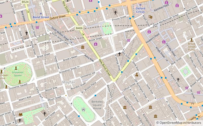
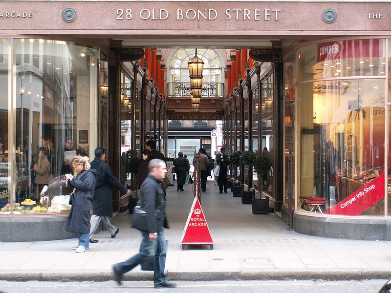
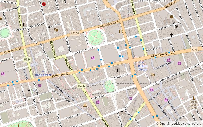
Aeolian Hall, at 135–137 New Bond Street, London, began life as the Grosvenor Gallery, being built by Coutts Lindsay in 1876, an accomplished amateur artist with a predeliction for the aesthetic movement, for which he was held up to some ridicule. In 1883, he decided to light his gallery with electricity. An outhouse became a substation, and equipment was installed in the basement, which upset some of the neighbours, and caused others to buy electricity from him. Thus began the system of electrical distribution in use today, but the threat of fire ended these activities, and by 1890, Lindsay was forced to sell out to the Grosvenor Club. By 1903 the whole building was taken over by the Orchestrelle Company of New York. As manufacturers of musical instruments, and especially the mechanical piano-player known as the pianola, they converted the space into offices, a showroom, and a concert hall. ()
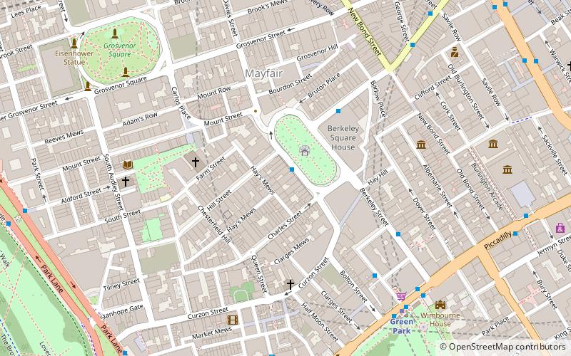
City of Westminster (West End)London
- Metro
- Bus
- Train
- Ferry
 Metro
Metro
- Calculate routeOxford Circus Station / Harewood Place 6 min walk
- Calculate routeOxford Circus Station / John Lewis 6 min walk
- Calculate routeHolles Street 7 min walk
- Calculate routeGreat Titchfield Street / Oxford Circus Station 9 min walk
- Calculate routeBond Street 7 min walk
- Calculate routeOxford Circus 7 min walk
- Calculate routeGreen Park 11 min walk
- Calculate routePiccadilly Circus 12 min walk
- Calculate routeCharing Cross 24 min walk
- Calculate routeLondon Marylebone 30 min walk
- Calculate routeLondon Euston 32 min walk
- Calculate routeEmbankment 27 min walk
- Calculate routeWestminster Pier 30 min walk
- Calculate routeLondon Eye - Waterloo Pier 31 min walk
- Calculate routeFestival Pier 31 min walk
 Tube
Tube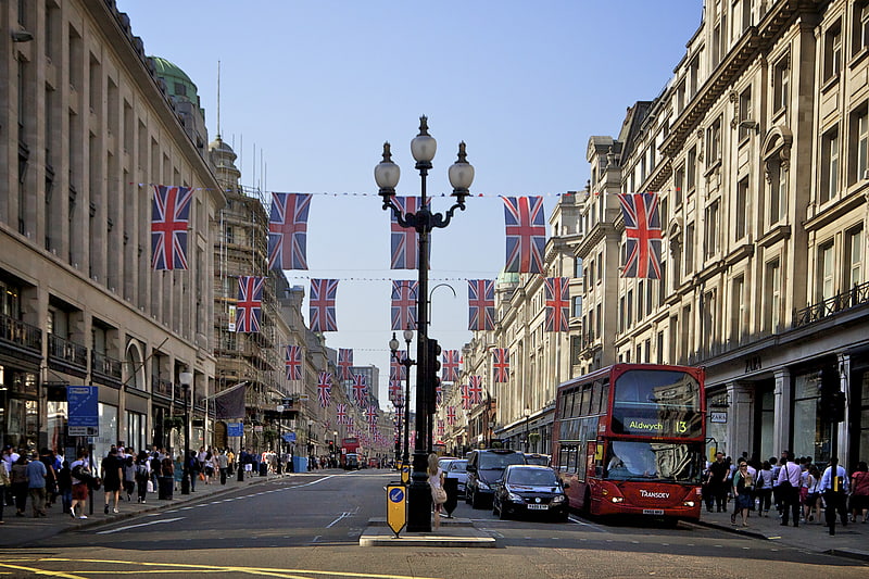


Frequently Asked Questions (FAQ)
Which popular attractions are close to Aeolian Hall?
How to get to Aeolian Hall by public transport?
Bus
- Oxford Circus Station / Harewood Place • Lines: 7, 98, N7, N98 (6 min walk)
- Oxford Circus Station / John Lewis • Lines: 390, 7, 98, N207, N7, N98 (6 min walk)
Metro
- Bond Street • Lines: Central, Jubilee (7 min walk)
- Oxford Circus • Lines: Bakerloo, Central, Victoria (7 min walk)
Train
- Charing Cross (24 min walk)
- London Marylebone (30 min walk)
Ferry
- Embankment • Lines: Green Tour, Rb1, Rb1X, Rb2, Rb6 (27 min walk)
- Westminster Pier • Lines: Blue Tour, Green Tour, Rb1, Rb1X, Rb2, Red Tour (30 min walk)