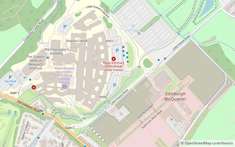
Little France, Edinburgh

Map
Facts and practical information
Little France is a suburb of Edinburgh, the capital of Scotland. It is on the A7, approximately 4 miles south of the city centre. ()
Coordinates: 55°55'17"N, 3°7'60"W
Address
CraigmillarEdinburgh
ContactAdd
Social media
Add
Day trips
Little France – popular in the area (distance from the attraction)
Nearby attractions include: Fort Kinnaird, Craigmillar Castle, Liberton Golf Club, Gilmerton Cove.
Frequently Asked Questions (FAQ)
Which popular attractions are close to Little France?
Nearby attractions include Craigmillar Castle, Edinburgh (11 min walk), Greendykes, Edinburgh (14 min walk), Moredun, Edinburgh (17 min walk), Robin Chapel, Edinburgh (19 min walk).
How to get to Little France by public transport?
The nearest stations to Little France:
Bus
Bus
- Royal Infirmary • Lines: 21, 24, 400, 49, 7, 8 (2 min walk)
- Scrm • Lines: 21, 400 (4 min walk)


