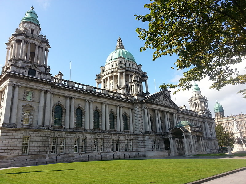
St Patrick's Church, Belfast
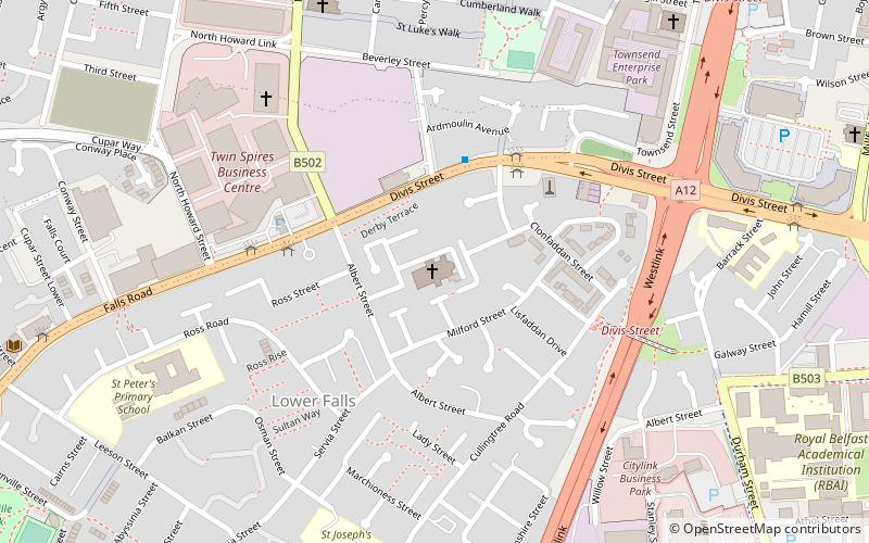
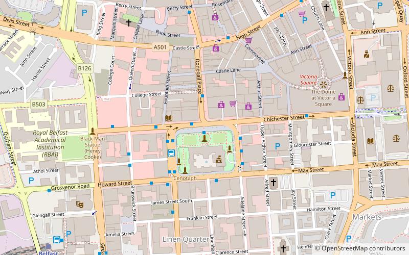
Map
Facts and practical information
St. Patrick's Church, Belfast is a Roman Catholic church located in Donegall Street area of Belfast, Northern Ireland. The first church was opened on the site in 1815 while the current building dates from 1877. ()
Architectural style: Gothic revivalCoordinates: 54°35'56"N, 5°56'40"W
Getting there by public transportation
Public transportation stops near this location
- Bus
- Train
 Bus
Bus
- Calculate routeEuropa Bus Centre 12 min walk
- Calculate routeBelfast 12 min walk
- Calculate routeDonegall Place 15 min walk
- Calculate routeBradbury Place 21 min walk
- Calculate routeBelfast - Great Victoria Street 12 min walk
- Calculate routeCity Hospital 19 min walk
- Calculate routeBotanic 23 min walk
- Calculate routeBelfast Lanyon Place 29 min walk
Day trips


Frequently Asked Questions (FAQ)
Which popular attractions are close to St Patrick's Church?
Nearby attractions include St Peter's Cathedral, Belfast (1 min walk), Divis Tower, Belfast (3 min walk), Irish Republican History Museum, Belfast (7 min walk), Grand Opera House, Belfast (12 min walk).
How to get to St Patrick's Church by public transport?
The nearest stations to St Patrick's Church:
Bus
Train
Bus
- Europa Bus Centre (12 min walk)
- Belfast • Lines: X1, X2A (12 min walk)
Train
- Belfast - Great Victoria Street (12 min walk)
- City Hospital (19 min walk)