Stourton, Leeds

Gallery (1)
Map
Map
Facts and practical information
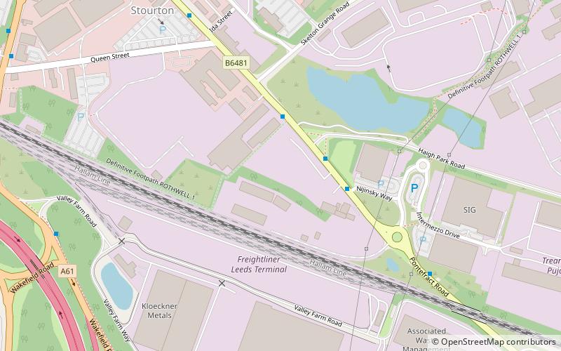
Stourton is a mainly industrial area of the city of Leeds, West Yorkshire, England. The area falls within the City and Hunslet ward of Leeds Metropolitan Council. ()
Coordinates: 53°46'12"N, 1°30'29"W
Address
HunsletLeeds
ContactAdd
Social media
Add
Getting there by public transportation
Public transportation stops near this location
- Bus
- Train
 Bus
Bus
- Calculate routeWakefield Road Queen Street 10 min walk
- Calculate routeWakefield Road Pontefract Road 11 min walk
- Calculate routeStourton Park & Ride 12 min walk
- Calculate routeStourton Park and Ride 12 min walk
- Calculate routePark Halt 34 min walk
Day trips


Frequently Asked Questions (FAQ)
How to get to Stourton by public transport?
The nearest stations to Stourton:
Bus
Train
Bus
- Wakefield Road Queen Street • Lines: 110, 444, 446 (10 min walk)
- Wakefield Road Pontefract Road • Lines: 110, 444, 446, Pr3 (11 min walk)
Train
- Park Halt (34 min walk)