Shropshire Hills AONB
Map

Gallery

Facts and practical information
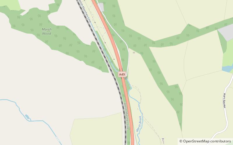
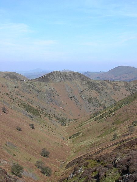
The Shropshire Hills area, in the English county of Shropshire, is designated as an Area of Outstanding Natural Beauty. It is located in the south of the county, extending to its border with Wales. Designated in 1958, the area encompasses 802 square kilometres of land primarily in south-west Shropshire, taking its name from the upland region of the Shropshire Hills. The A49 road and Welsh Marches Railway Line bisect the area north-south, passing through or near Shrewsbury, Church Stretton, Craven Arms and Ludlow. ()
Established: 1958 (68 years ago)Coordinates: 52°29'42"N, 2°48'58"W
Day trips
Shropshire Hills AONB – popular in the area (distance from the attraction)
Nearby attractions include: Stokesay Castle, Long Mynd, Caer Caradoc, St Laurence's Church.


