Long Mynd
Map
Gallery

Facts and practical information
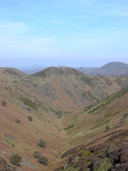
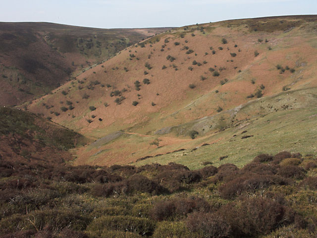
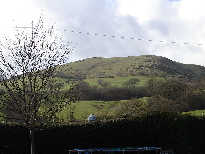
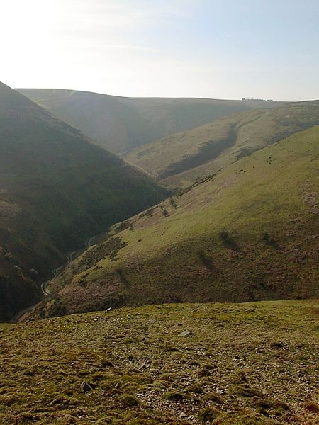
The Long Mynd is a heath and moorland plateau that forms part of the Shropshire Hills in Shropshire, England. The high ground, which is common land and designated as an Area of Outstanding Natural Beauty, lies between the Stiperstones range to the west and the Stretton Hills and Wenlock Edge to the east. Much of it is owned by the National Trust, and is managed by the Longmynd Commoners. ()
Location
England
ContactAdd
Social media
Add
Day trips
Long Mynd – popular in the area (distance from the attraction)
Nearby attractions include: Caer Caradoc, Snailbeach Mine, St Laurence's Church, Three Tuns Brewery.


