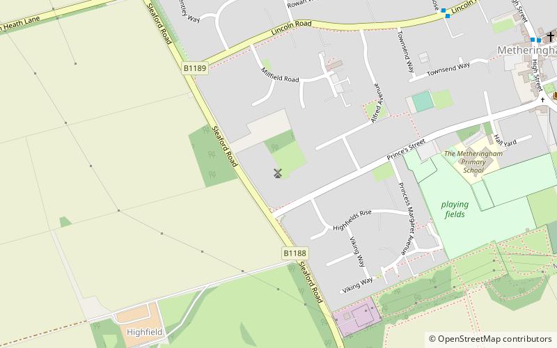
Metheringham Windmill, Metheringham
Map

Map

Facts and practical information
Metheringham Windmill, locally known as The Old Meg Flour Mill, was a six-storeyed, six-sailed, and tarred slender Lincolnshire type windmill with the typical white onion-shaped cap with fantail, built in 1867 to be used to grind flour from grain. Located on a paddock at the eponymous village in North Kesteven south of Lincoln it is one of the many tall brick-tower mills of Lincolnshire with stage, now disused. ()
Coordinates: 53°8'16"N, 0°24'42"W
Address
Metheringham
ContactAdd
Social media
Add
Day trips
Metheringham Windmill – popular in the area (distance from the attraction)
Nearby attractions include: Viking Way, Temple Bruer Preceptory, Nocton Hall, International Bomber Command Centre.


