St Wilfrid's Church, Leeds
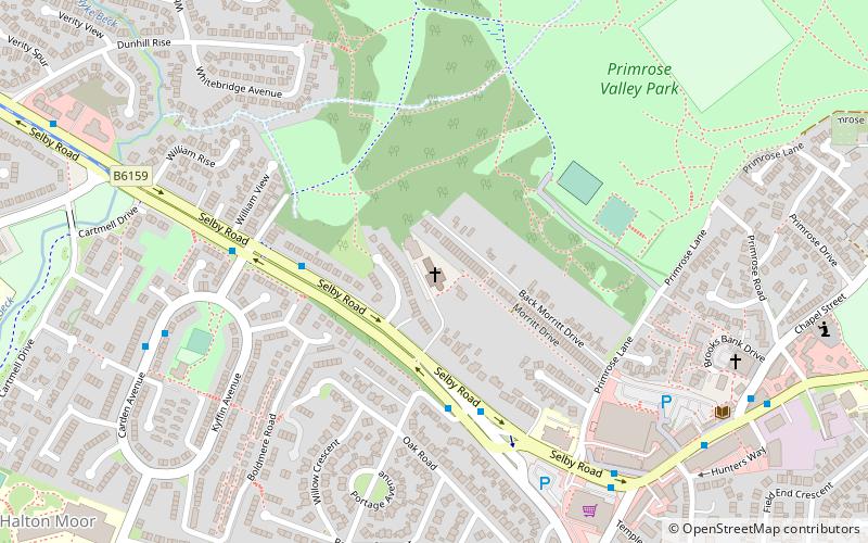
Map

Gallery

Facts and practical information
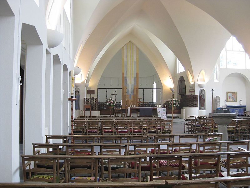
St Wilfrid's Church, Halton was designed by Albert Randall Wells and built between 1937 and 1939. It is situated in the 1930s suburb of Halton in Leeds, England. ()
Coordinates: 53°47'54"N, 1°28'29"W
Day trips
St Wilfrid's Church – popular in the area (distance from the attraction)
Nearby attractions include: Temple Newsam, St Mary's Church, Church of the Epiphany, Whitkirk.
Frequently Asked Questions (FAQ)
Which popular attractions are close to St Wilfrid's Church?
Nearby attractions include Halton Moor, Leeds (10 min walk), Killingbeck, Leeds (12 min walk), Wykebeck, Leeds (13 min walk).
How to get to St Wilfrid's Church by public transport?
The nearest stations to St Wilfrid's Church:
Bus
Train
Bus
- Selby Road Dunhill Rise • Lines: 26, 27 (10 min walk)
- Neville Road Ullswater Crescent • Lines: 91 (11 min walk)
Train
- Cross Gates (27 min walk)


