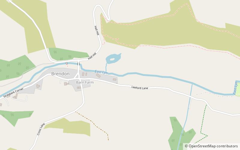
Brendon and Countisbury, Lynton
#12 among attractions in Lynton

Facts and practical information
Brendon and Countisbury is an English civil parish in the district of North Devon and the county of Devon. ()
Lynton United Kingdom
Brendon and Countisbury – popular in the area (distance from the attraction)
Nearby attractions include: Valley of Rocks, Foreland Point, Lynton and Lynmouth Cliff Railway, Lynton Town Hall.
 Nature, Natural attraction, Historic walking areas
Valley of Rocks, Lynton
106 min walk • The Valley of Rocks, sometimes called Valley of the Rocks, is a dry valley that runs parallel to the coast in north Devon, England, about 1 kilometre to the west of the village of Lynton.
 Protected area
Foreland Point, Lynton
35 min walk • Foreland Point is a rocky headland in Devon near Lynmouth, and is the most northerly point along the Devon and Exmoor coast. The highest cliff is 89 metres above the high tide, although the highest point of the entire headland is near Countisbury at 302 metres.
 World's steepest water-powered railway
Lynton and Lynmouth Cliff Railway, Lynton
85 min walk • The Lynton and Lynmouth Cliff Railway is a water-powered funicular railway joining the twin towns of Lynton and Lynmouth on the rugged coast of North Devon in southwest England.
 City hall
Lynton Town Hall, Lynton
87 min walk • Lynton Town Hall is a municipal building in Lee Road, Lynton, Devon, England. The town hall, which was the meeting place of Lynton Urban District Council, is a grade II* listed building.
 Forts and castles
Wind Hill, Lynton
54 min walk • Wind Hill, situated close to Lynmouth in Devon, England, is the location of an Iron Age enclosure or "spur" hill fort. The site is effectively a hillside forming a spur or promontory between the steep valley of the East Lyn River to the south and the cliffs to the north.
 Lighthouse, Vernacular architecture
Lynmouth Foreland Lighthouse, Lynton
51 min walk • Lynmouth Foreland Lighthouse is located on Foreland Point; it was originally simply named 'The Foreland Lighthouse'. First lit on 28 September 1900, the lighthouse was built to assist vessels passing through the Bristol Channel, and is a round brick tower painted white.
 Church
Church of St Mary, Exmoor National Park
50 min walk • The Anglican Church of St Mary in Oare, Somerset, England, was built in the 15th century. It is a Grade II* listed building.
 Bridge
Robber's Bridge, Exmoor National Park
82 min walk • Robber's Bridge, or Robbers Bridge, is an old masonry arch bridge in the royal forest of Exmoor near Doone Valley, carrying the minor road from Porlock Hill to Oare. It crosses Weir Water and is located down a steep, wooded lane beneath overhanging trees.
 Nature, Natural attraction, Valley
East Lyn Valley, Exmoor National Park
34 min walk • East Lyn Valley is a valley of Exmoor, covering northern Devon and western Somerset, England. The East Lyn River is formed from several main tributaries including Hoar Oak Water beginning near Weir Water.
 Village, Area
Lynmouth, Lynton
78 min walk • Lynmouth is a village in Devon, England, on the northern edge of Exmoor. The village straddles the confluence of the West Lyn and East Lyn rivers, in a gorge 700 feet below Lynton, which was the only place to expand to once Lynmouth became as built-up as possible.
 Bridge
Malmsmead Bridge, Exmoor National Park
33 min walk • Malmsmead Bridge is a 17th-century stone bridge which crosses Badgworthy Water in the hamlet of Malmsmead, on the road between Oare and Brendon.