Malmsmead Bridge, Exmoor National Park
Map

Map

Facts and practical information
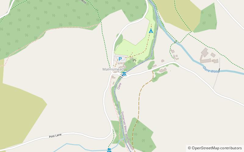
Malmsmead Bridge is a 17th-century stone bridge which crosses Badgworthy Water in the hamlet of Malmsmead, on the road between Oare and Brendon. The Badgworthy Water forms the boundary between the counties of Somerset and Devon, and the bridge is therefore shared between both counties, as well as being within the Exmoor National Park. It has been scheduled as an ancient monument and is a Grade II listed building. ()
Completed: XVII centuryCoordinates: 51°12'57"N, 3°43'52"W
Address
Exmoor National Park
ContactAdd
Social media
Add
Day trips
Malmsmead Bridge – popular in the area (distance from the attraction)
Nearby attractions include: Foreland Point, Culbone Church, Wind Hill, Lynmouth Foreland Lighthouse.
Frequently Asked Questions (FAQ)
Which popular attractions are close to Malmsmead Bridge?
Nearby attractions include East Lyn Valley, Exmoor National Park (15 min walk), Church of St Mary, Exmoor National Park (18 min walk).


