Blawhorn Moss
Map

Gallery

Facts and practical information
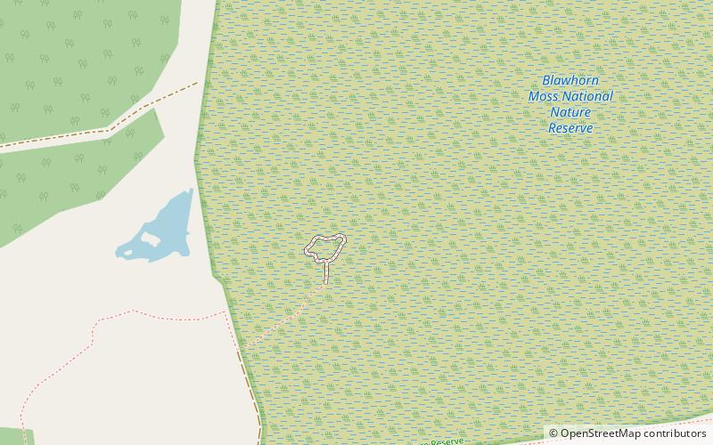
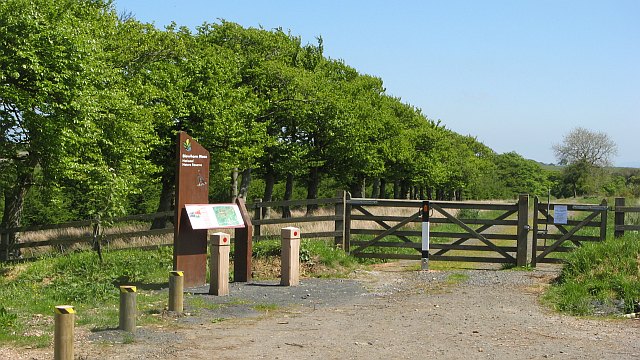
Blawhorn Moss is a raised bog located to the northwest of the village of Blackridge, about 6 kilometres west of Armadale in the council area of West Lothian in central Scotland. It is the largest and least disturbed raised bog in the Lothians, and has been a National Nature Reserve since 1980. It is owned and managed by NatureScot, the public body responsible for Scotland's natural heritage. ()
Elevation: 722 ft a.s.l.Coordinates: 55°53'34"N, 3°47'17"W
Day trips
Blawhorn Moss – popular in the area (distance from the attraction)
Nearby attractions include: Avon Aqueduct, Regal Community Theatre, Polkemmet Country Park, Muiravonside Country Park.


