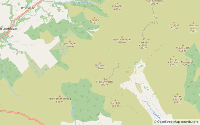
Glasgwm, Snowdonia National Park
Map

Map

Facts and practical information
Glasgwm is a mountain in Gwynedd, Wales forming part of the Aran range in southern Snowdonia. It is one of the three Marilyns that make up the range, the others being Aran Fawddwy and Esgeiriau Gwynion. To the west is Maesglase and the Dyfi hills, while to the south-west lies Cadair Idris. To the south lies the Plynlimon range. It is 779 metres high. ()
Elevation: 2556 ftProminence: 705 ftCoordinates: 52°45'37"N, 3°43'31"W
Address
Snowdonia National Park
ContactAdd
Social media
Add
Day trips
Glasgwm – popular in the area (distance from the attraction)
Nearby attractions include: Pont Minllyn, Aran Fawddwy, Mynydd Dolgoed, Foel Dinas.


