Weardale Way, Sunderland
Map
Facts and practical information
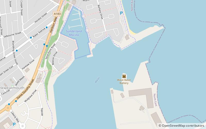
Weardale Way is a footpath that follows the River Wear in the North East of England. It is 73 miles long, starting at the Lindesfarne Memorial on the sea wall at Roker. It then passes through Chester-le-Street, Durham, Bishop Auckland, Wolsingham and Stanhope. The path ends outside the Post Office in the village of Wearhead in County Durham. ()
Coordinates: 54°55'1"N, 1°21'54"W
Address
Sunderland
ContactAdd
Social media
Add
Getting there by public transportation
Public transportation stops near this location
- Bus
- Light rail
 Bus
Bus
- Calculate routeStadium of Light 19 min walk
- Calculate routeSt Peter's 22 min walk
- Calculate routeSunderland 27 min walk
- Calculate routeSeaburn 32 min walk
- Calculate routeSt Mary's Way 25 min walk
- Calculate routeSunderland Interchange 33 min walk
- Calculate routeSunderland Interchange Stand R 33 min walk
Day trips


Frequently Asked Questions (FAQ)
Which popular attractions are close to Weardale Way?
Nearby attractions include Sunderland Volunteer Life Brigade - SVLB Search & Rescue, Sunderland (7 min walk), St Andrew's Church, Sunderland (11 min walk), St Peter's Church, Sunderland (13 min walk), Monkwearmouth–Jarrow Abbey, Sunderland (13 min walk).
How to get to Weardale Way by public transport?
The nearest stations to Weardale Way:
Light rail
Bus
Light rail
- Stadium of Light • Lines: Green (19 min walk)
- St Peter's • Lines: Green (22 min walk)
Bus
- St Mary's Way • Lines: 135 (25 min walk)
- Sunderland Interchange • Lines: 426, 436, 905 (33 min walk)