God's Bridge
#2021 among destinations in the United Kingdom
Facts and practical information
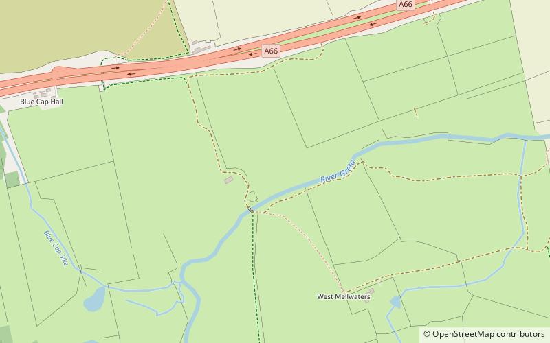
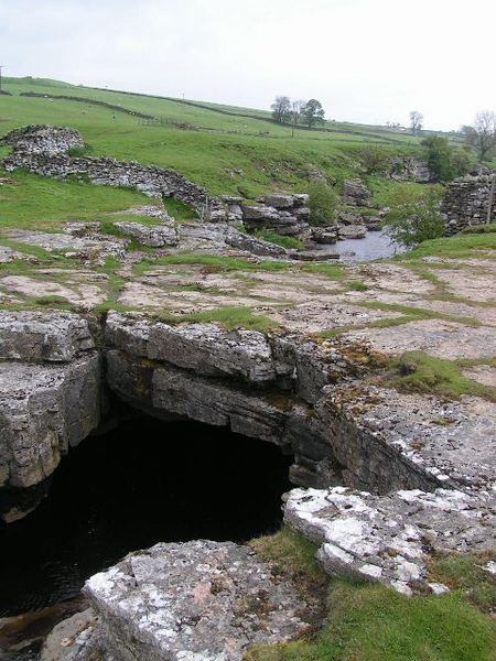
God's Bridge is a Site of Special Scientific Interest in the County Durham district of south-west County Durham, England. It is a natural limestone bridge over the River Greta, just over 3 km upstream from the village of Bowes. ()
God's Bridge – popular in the area (distance from the attraction)
Nearby attractions include: Sleightholme Beck Gorge – The Troughs, Tan Hill Inn, Baldersdale Woodlands, Shipley and Great Woods.
 Nature, Natural attraction, Canyon
Sleightholme Beck Gorge – The Troughs
19 min walk • Nestled in the rugged landscape of the North Pennines in the United Kingdom, Sleightholme Beck Gorge – also known as The Troughs – is a hidden gem that offers a tranquil escape into nature's embrace. This picturesque canyon, carved by the relentless flow of...
 Nightlife
Tan Hill Inn, Keld
134 min walk • Tan Hill is a high point on the Pennine Way in the Richmondshire district of North Yorkshire, England. It lies north of Keld in the civil parish of Muker, near the borders of County Durham and Cumbria, and close to the northern boundary of the Yorkshire Dales National Park.
 Nature, Natural attraction, Forest
Baldersdale Woodlands
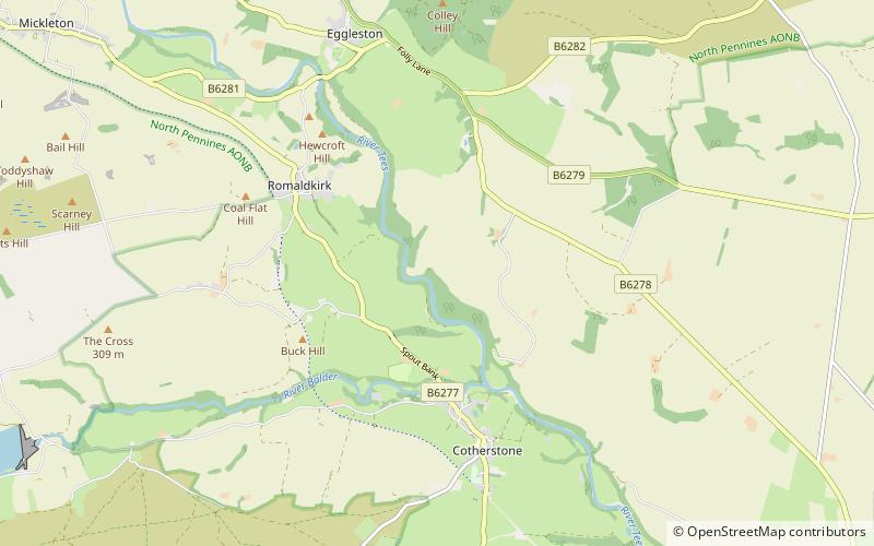
130 min walk • Baldersdale Woodlands is a Site of Special Scientific Interest in the Teesdale district of south-west County Durham, England. It consists primarily of ancient, semi-natural woodland growing on steep valley slopes, including scree, on both banks of the River Balder over a stretch of some 3 km, upstream of the village of Cotherstone.
 Nature, Natural attraction, Forest
Shipley and Great Woods
158 min walk • Shipley and Great Woods is a Site of Special Scientific Interest in the Teesdale district of south-west County Durham, England. It occupies a steep ravine in the valley of the River Tees, just north of the village of Cotherstone.
 Mountain
Stainmore Summit, North Pennines
125 min walk • Stainmore Summit is the highest point on the trans-Pennine South Durham & Lancashire Union Railway, also known as the Stainmore Railway in Northern England.
 Nature, Natural attraction, Valley
Baldersdale
103 min walk • Baldersdale is a dale, or valley, on the east side of the Pennines in England, northwest of Barnard Castle. Its principal settlements are Hury and Briscoe. Baldersdale lies within the traditional boundaries of the North Riding of Yorkshire.
 Nature, Natural attraction, Valley
Arkengarthdale, Yorkshire Dales National Park
110 min walk • Arkengarthdale is a dale, or valley, on the east side of the Pennines in North Yorkshire, England. Running roughly north-west to south-east, it is the valley of the Arkle Beck, and is the northernmost of the Yorkshire Dales.
 Nature, Natural attraction, Lake
Hury Reservoir
106 min walk • Hury Reservoir is a reservoir in County Durham, England situated in Baldersdale. The reservoir is located about four miles south of Middleton-in-Teesdale and about three miles west of Cotherstone.
 Nature, Natural attraction, Protected area
Hannah's Meadows
100 min walk • Hannah's Meadows is a Site of Special Scientific Interest in the Teesdale district of south-west County Durham, England. It consists of three fields, located at Low Birk Hatt Farm, on the north side of Blackton Reservoir, in Baldersdale, some 7 km west of the village of Cotherstone.
 Nature, Natural attraction, Mountain
Hoove, Yorkshire Dales National Park
115 min walk • Hoove is a hill in the northern Yorkshire Dales in North Yorkshire, England, near the town of Barnard Castle in County Durham. Its elevation is 554 metres, and it is classified as a Marilyn.
 Forts and castles
Cotherstone Castle
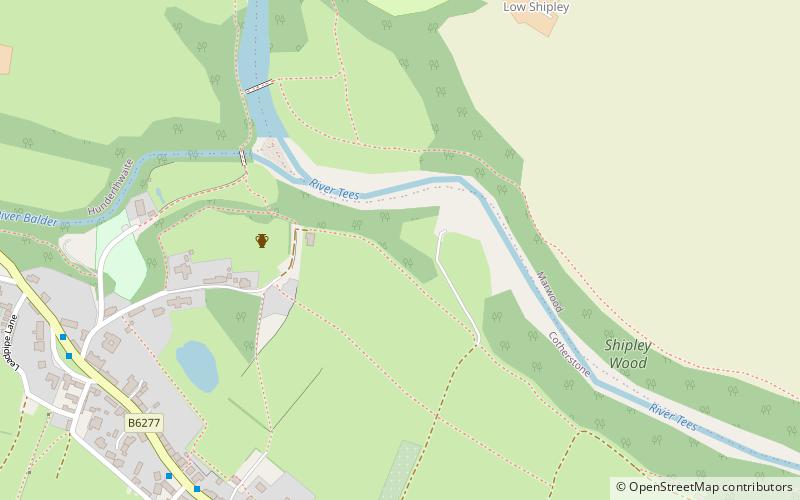
148 min walk • Cotherstone Castle was in the village of Cotherstone by the River Tees some 3 miles north-east of Barnard Castle in County Durham, England. This was a motte and bailey castle built around 1090. In 1200 the wooden building was replaced by a stone building, of which was licensed in 1201.
