Mynydd Bach
Map
Facts and practical information
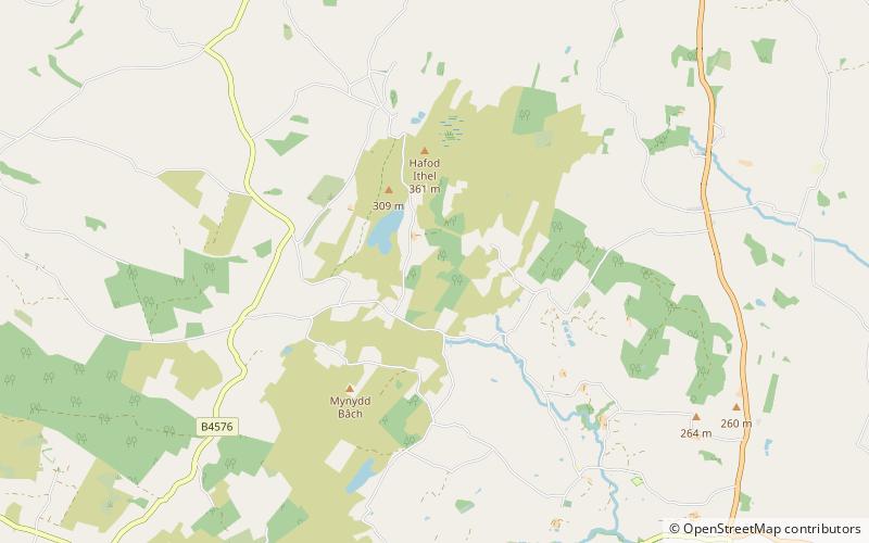
Mynydd Bach is located in the midlands of Ceredigion. It is a range of low hills, rather than a single mountain as its name suggests. The highest point reaches 329 meters above sea level. This area contains a few small villages and is an important place in Ceredigion’s cultural history. ()
Coordinates: 52°16'44"N, 4°2'13"W
Location
Wales
ContactAdd
Social media
Add
Day trips