The Islington, London
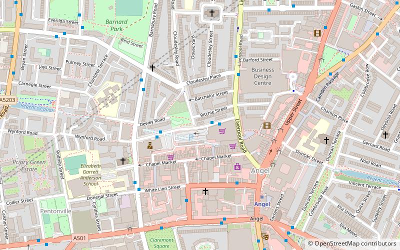
Map

Map

Facts and practical information
The Islington is a live music venue located at 1 Tolpuddle Street, London, England, Prior to new ownership it was called the "North One". ()
Coordinates: 51°32'4"N, 0°6'31"W
Day trips
The Islington – popular in the area (distance from the attraction)
Nearby attractions include: Upper Street, O2 Academy Islington, London Canal Museum, Electrowerkz.
Frequently Asked Questions (FAQ)
When is The Islington open?
The Islington is open:
- Monday 4 pm - 12 am
- Tuesday 4 pm - 12 am
- Wednesday 4 pm - 12 am
- Thursday 4 pm - 12 am
- Friday 4 pm - 12 am
- Saturday 11 am - 12 am
- Sunday 11 am - 12 am
Which popular attractions are close to The Islington?
Nearby attractions include Chapel Market, London (2 min walk), Islington Farmers' Market, London (3 min walk), Cubitt Artists, London (4 min walk), Claremont Square, London (5 min walk).
How to get to The Islington by public transport?
The nearest stations to The Islington:
Bus
Metro
Train
Bus
- Barnsbury Road • Lines: 153, 274 (4 min walk)
- White Lion Street • Lines: 30, 476, 73, N277, N73 (4 min walk)
Metro
- Angel • Lines: Northern (7 min walk)
- King's Cross St Pancras • Lines: Circle, Hammersmith & City, Metropolitan, Northern, Piccadilly, Victoria (20 min walk)
Train
- London King's Cross (17 min walk)
- Caledonian Road & Barnsbury (18 min walk)

 Tube
Tube


