The Lexington, London
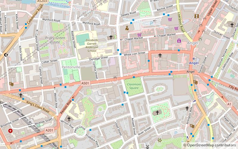
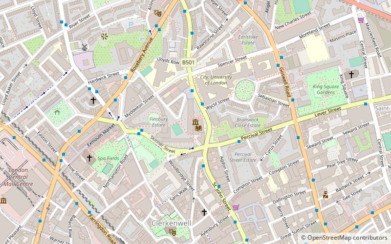
Map

Map

Facts and practical information
The Lexington is a pub and music venue on Pentonville Road in Islington, London that opened in 2008. The bar specialises in bourbon, as well as American craft beer. The building it is in was built over 1875 to 1876 and was originally known as The Belvidere. ()
Coordinates: 51°31'54"N, 0°6'41"W
Address
96-98 Pentonville RoadIslington (Barnsbury)London
Contact
+44 20 7837 5371
Social media
Add
Day trips
The Lexington – popular in the area (distance from the attraction)
Nearby attractions include: O2 Academy Islington, London Canal Museum, Electrowerkz, The Screen On The Green.
Frequently Asked Questions (FAQ)
Which popular attractions are close to The Lexington?
Nearby attractions include Claremont Square, London (2 min walk), Islington Farmers' Market, London (4 min walk), Chapel Market, London (4 min walk), Myddelton Square, London (5 min walk).
How to get to The Lexington by public transport?
The nearest stations to The Lexington:
Bus
Metro
Train
Bus
- Penton Street • Lines: 30 (1 min walk)
- Hail & Ride Claremont Square • Lines: 812 (2 min walk)
Metro
- Angel • Lines: Northern (7 min walk)
- King's Cross St Pancras • Lines: Circle, Hammersmith & City, Metropolitan, Northern, Piccadilly, Victoria (15 min walk)
Train
- London King's Cross (13 min walk)
- London St. Pancras International (17 min walk)

 Tube
Tube


