Kings Place, London
Map
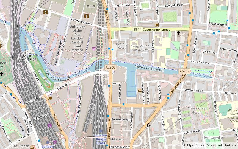
Map

Facts and practical information
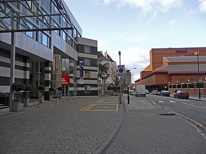
Kings Place is a building in London’s Kings Cross area, providing music and visual arts venues combined with seven floors of office space. It has housed the editorial offices of The Guardian newspaper since December 2008 and is the former headquarters of Network Rail and CGI. ()
Coordinates: 51°32'6"N, 0°7'18"W
Day trips
Kings Place – popular in the area (distance from the attraction)
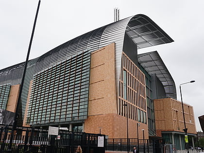
Nearby attractions include: Egg London, London Canal Museum, Francis Crick Institute, Shaw Theatre.
Frequently Asked Questions (FAQ)
Which popular attractions are close to Kings Place?
Nearby attractions include London Canal Museum, London (3 min walk), House of Illustration, London (3 min walk), Granary Square, London (5 min walk), Kings Cross, London (6 min walk).
How to get to Kings Place by public transport?
The nearest stations to Kings Place:
Train
Bus
Metro
Train
- London King's Cross (5 min walk)
- London St. Pancras International (8 min walk)
Bus
- King's Cross Station • Lines: 30 (7 min walk)
- Hemingford Road • Lines: 153, 274 (9 min walk)
Metro
- King's Cross St Pancras • Lines: Circle, Hammersmith & City, Metropolitan, Northern, Piccadilly, Victoria (10 min walk)
- Euston • Lines: Northern, Victoria (17 min walk)

 Tube
Tube

