St John's Gardens, Cardiff
Map

Map

Facts and practical information
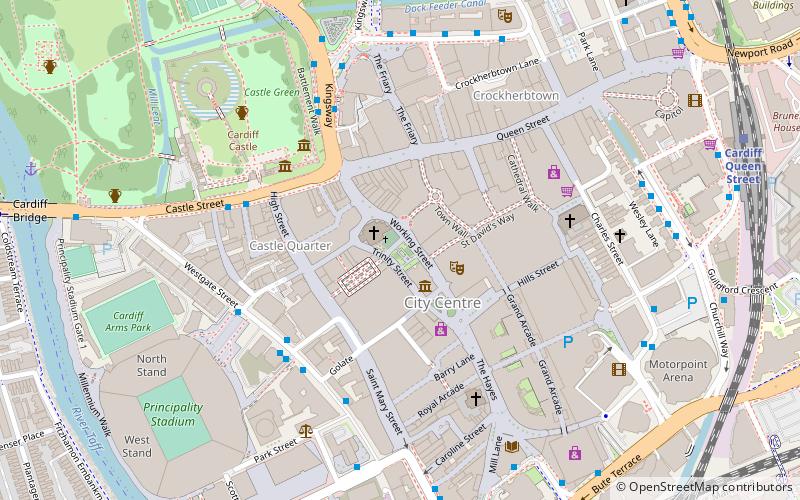
St. John's Gardens are a small public garden in the center of the Welsh capital Cardiff in United Kingdom. It is located between St John's Church and the Old Library. The park is around 1000 m² in size and is enclosed by cast iron railings. The gardens have some old trees, some flower beds, a central hut and several benches. ()
Elevation: 62 ft a.s.l.Coordinates: 51°28'50"N, 3°10'40"W
Address
Canol Dinas Caerdydd (Canol Y Ddinas)Cardiff
ContactAdd
Social media
Add
Day trips
St John's Gardens – popular in the area (distance from the attraction)
Nearby attractions include: Queen Street, Cardiff Castle, Millennium Stadium, Clwb Ifor Bach.
Frequently Asked Questions (FAQ)
Which popular attractions are close to St John's Gardens?
Nearby attractions include St John the Baptist Church, Cardiff (1 min walk), Cardiff Market, Cardiff (2 min walk), St David's Hall, Cardiff (2 min walk), Cardiff Story Museum, Cardiff (2 min walk).
How to get to St John's Gardens by public transport?
The nearest stations to St John's Gardens:
Bus
Train
Bus
- Westgate Street KG • Lines: 8 (4 min walk)
- Kingsway GR • Lines: 28, 8 (4 min walk)
Train
- Cardiff Queen Street (9 min walk)
- Cardiff Central (9 min walk)


