Hendon, London
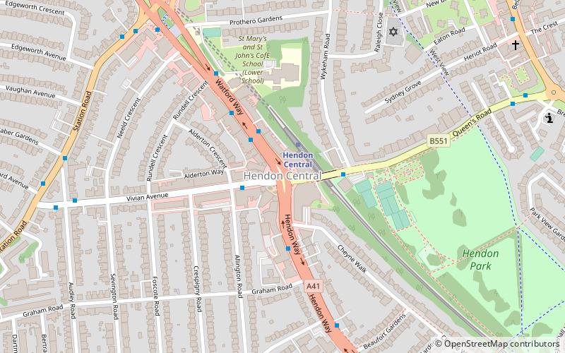
Map

Gallery

Facts and practical information
Hendon is an urban area in the Borough of Barnet, North-West London 7 miles northwest of Charing Cross. Hendon was an ancient manor and parish in the county of Middlesex and a former borough, the Municipal Borough of Hendon; it has been part of Greater London since 1965. Hendon falls almost entirely within the NW4 postcode, while the West Hendon part falls in NW9. Colindale to the north-west was once considered part of Hendon but is today separated by the M1 motorway. ()
Address
Barnet (Hendon)London
ContactAdd
Social media
Add
Day trips
Hendon – popular in the area (distance from the attraction)
Nearby attractions include: RAF Museum, Brent Cross Shopping Centre, Brent Reservoir, La Délivrance.
Frequently Asked Questions (FAQ)
Which popular attractions are close to Hendon?
Nearby attractions include Brent Cross, London (15 min walk), St Matthias the Apostle church, London (21 min walk).
How to get to Hendon by public transport?
The nearest stations to Hendon:
Bus
Train
Metro
Bus
- Hendon Central Station • Lines: 113, 143, 186, 324, 326, 643, 83, N113, N5, N83 (2 min walk)
- Hendon Way • Lines: 83, N5, N83 (2 min walk)
Train
- Hendon (14 min walk)
Metro
- Colindale • Lines: Northern (34 min walk)

 Tube
Tube


